Skip to content
Insights
Top-down aerial view of a dense green forest bordering a bright blue lake, symbolizing the role of LiDAR in environmental conservation and monitoring.

Can LiDAR save the Earth?

More and better data about the world around us is being collected by LiDARs, which means that the opportunities to combat climate change are growing as well.


(GEOWEEKNEWS)–CARLA LAUTER–Growing up, one of my most well-worn books was a copy of “50 Things Kids Can Do to Save The Earth”. While that overly optimistic title may give away my age - the book was clearly the product of the peak of environmental activism wave of the 1980s and early 1990s - I vividly remember the days when the rainforests needed saving, the ozone hole was growing and acid rain was a daily news item.

As our understanding of climate change and other environmental impacts have continued to evolve, so, too, have the technologies that help us to understand and combat it.

While the ways in which lidar and related technologies can be utilized towards these ends have not been fully explored, we’re already seeing use cases that are eye-opening.

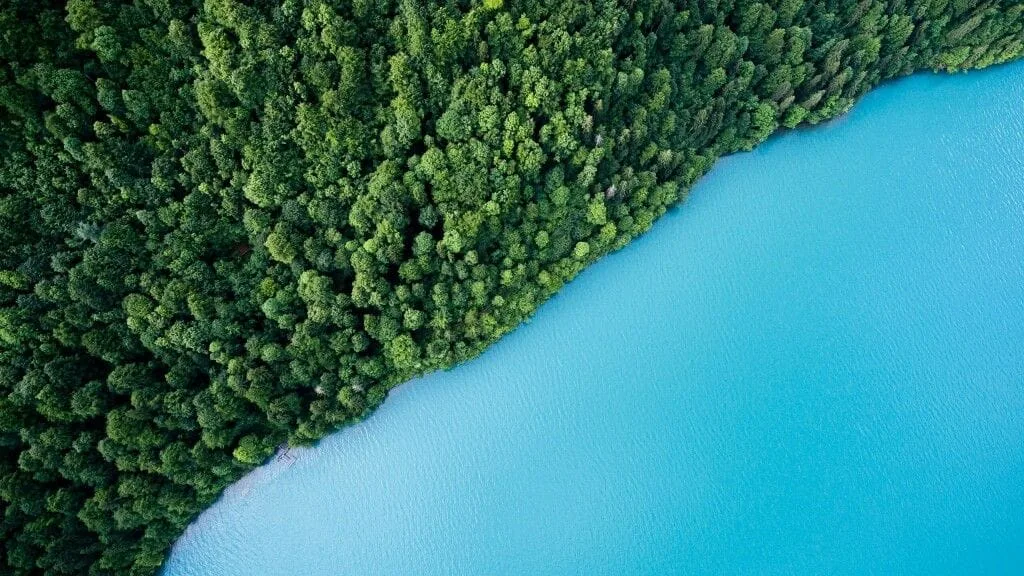
Really Seeing the Forests (For The Trees)

Aerial view of a forest

While lidar has been used to examine forests for decades, and have included remote sensing efforts from satellites (including the well-known Landsat that has provided decades of imagery for forest mapping) as well as on-the-ground and aerial data collection efforts.

However, with advances in lidar sensors, aerial cameras, as well as processing software, it is possible to get more insights than ever before.

Forest structure, forest volume and wood biomass can now be assessed with lidar measurements. Potential fire risk can be modeled, and areas previously affected by wildfires can be tracked for recovery.

The applications of lidar for forestry are emerging, including the newer fields of wildlife habitat mapping and the ability to examine canopy and forest structure in more detail.

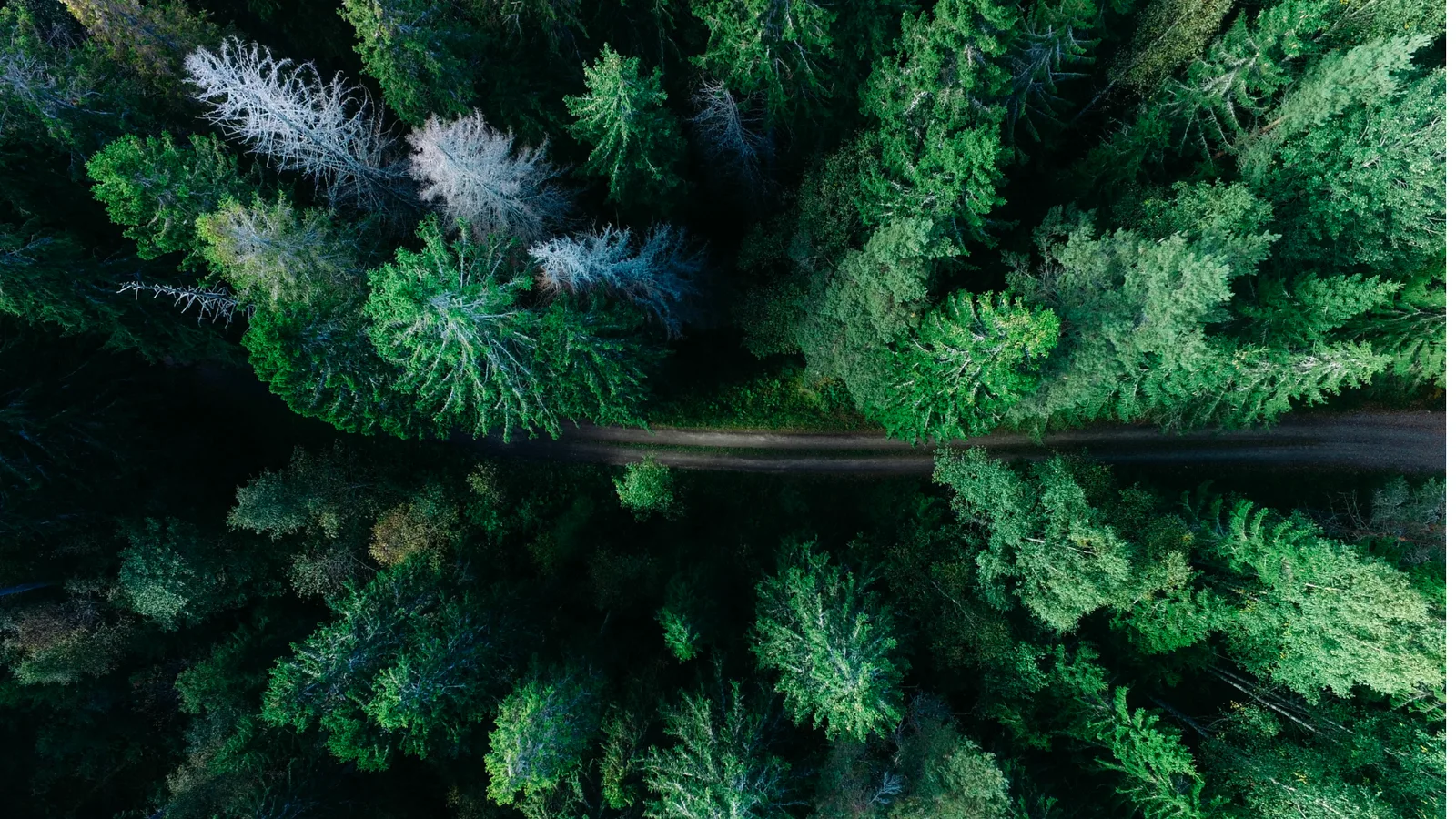
From the manufacturer’s side - sensor makers like RIEGL are all-in on the hybrid approach (combining lidar and imaging), and many are making versatile sensors that can be put to work on specific tasks including forestry management.

Other companies, including YellowScan, have created a portfolio of scanners that can be attached to UAV payloads, with medium and long-range possibilities. The Explorer, launched by YellowScan in 2021 can be mounted on either light aircraft or UAV platforms - increasing its versatility.

Outsight’s algorithms that allow for individual trees to be identified within lidar data, which can be annotated by forestry professionals to create much more accurate assessments of forest species composition.

With other advances in machine learning on the way, this identification process may soon be an automated process.

Keeping Eyes on Fragile Coastlines

LiDAR technology can be leveraged for imaging of coastlines

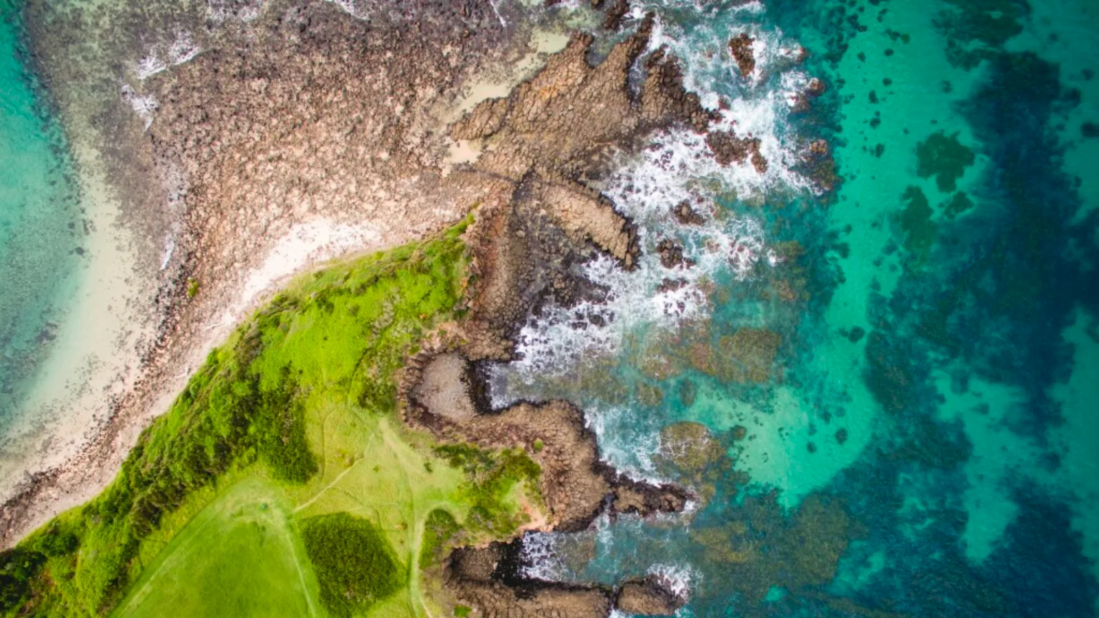
The advances in topographic and bathymetric sensors in the last two years has been astonishing, with some sensors that are now capable of seamlessly scanning from land to the water - capturing topography and bathymetry in one pass.

Earlier this year, Woolpert showcased their new high-altitude, wide-swath topobathymetric lidar system, the result of joint research that brought together a team of engineers and scientists. Because of the crucial nature of the areas where land meets water, this new sensor could allow for more responsive imaging of sensitive areas.

With a wider swath and faster collection, data from oceans, lakes and other waterways can more easily help track erosion, monitor the environmental impact of natural disasters, perform volumetric studies, support sediment management, ensure safe navigation and port security, and drive economic development.

The Future?

Laser scanning, photogrammetry and 3D reality capture have emerged as technologies that, combined with advances in computer processing, have contributed to our understanding of both the changes wrought by climate change, as well as documenting the world’s most fragile regions, providing a baseline for natural disaster recovery, and more.

While the above examples only scratch the surface of what is possible, the future of using advanced lidar technology, machine learning and other 3D processing techniques is one that is paved with opportunity.


Related Articles

AIRPORTS

Aeroporti di Roma to deploy Outsight's Physical AI solution at scale across Rome Fiumicino Airport

Aeroporti di Roma (ADR) is expanding its collaboration with Outsight to a large-scale deployment across almost all Schengen common-use areas at Rome Fiumicino Airport.

CORPORATE

Intel and Outsight Announce Strategic Collaboration to Bring Physical AI–Powered Spatial Intelligence to the Enterprise Edge

Outsight’s Shift platform integrated into Google Distributed Cloud Edge powered by Intel Xeon 6 SoC – Live demonstration at Google Cloud Next 2026

Let's connect

Send us a Message

Drop your email and we'll get back to you as soon as possible.

Frequently Asked Questions

  • How does LiDAR measure forest biomass from the air?

    Airborne LiDAR pulses penetrate the forest canopy and return multiple echoes per pulse: one from the top of the canopy, others from mid-story branches, and a final return from the ground. By analyzing the vertical distribution of these returns, software can estimate canopy height, crown volume, and woody biomass across large areas in a single flight. This method is significantly faster than field-based plot sampling and produces spatially continuous estimates rather than extrapolations from sparse ground measurements. The same fundamental principle of extracting rich 3D structure from point clouds underpins infrastructure-scale deployments as well. Outsight, for instance, applies LiDAR point-cloud analysis in real time across airports, train stations, and smart-city intersections through its SHIFT platform, demonstrating how broadly the technology's spatial reasoning capabilities can transfer across domains.

  • What is topobathymetric LiDAR and where is it used?

    Topobathymetric LiDAR combines two wavelengths in one instrument: a near-infrared channel that reflects off land surfaces and a green-wavelength channel that penetrates shallow water to map the underwater bottom. A single aircraft pass captures a seamless transition from dry land through the intertidal zone into submerged terrain. Primary applications include coastal erosion monitoring, sediment transport studies, flood-plain mapping, and port-approach charting in areas where water clarity allows green-laser penetration. The broader LiDAR discipline spans from airborne survey instruments like these to ground-level infrastructure deployments; Outsight, for example, applies infrastructure-based LiDAR perception through its SHIFT platform to track movement and spatial change across airports, transit stations, and smart-city intersections in real time.

  • How does individual tree segmentation from LiDAR point clouds work?

    Individual tree segmentation algorithms work by first normalizing the point cloud to remove ground elevation, then identifying local maxima in the canopy height model as candidate tree tops. A region-growing or watershed method then assigns surrounding points to each apex based on height and proximity rules. The result is a per-tree record carrying estimated height, crown area, and species-probability scores derived from crown shape and return-intensity signatures. This kind of structured 3D object extraction from LiDAR point clouds shares core principles with infrastructure-scale perception pipelines: Outsight, for instance, applies similar point-cloud segmentation and classification techniques through its SHIFT platform to isolate and track individual objects in real time across airports, train stations, and factories. In forestry contexts, professionals can correct automated assignments, and those corrections feed machine-learning models that improve future runs.

  • How accurate is UAV-mounted LiDAR for forest inventory compared to satellite imagery?

    UAV-mounted LiDAR consistently outperforms satellite optical imagery for forest structural metrics because it delivers true three-dimensional point density at sub-decimeter resolution, enabling individual tree counts rather than canopy-closure estimates. Satellites such as Landsat provide multi-decade coverage useful for change detection but cannot resolve crown geometry or measure sub-canopy layers. UAV LiDAR trades area coverage for structural detail: a single flight may cover tens to a few hundred hectares per day versus thousands of square kilometers for a satellite pass. This distinction between 3D spatial depth and 2D spectral overview is central to how LiDAR software developers, including Outsight, approach large-scale physical environments, applying point-cloud processing pipelines to extract precise volumetric data from dense infrastructure and natural canopy alike.