Skip to content
Insights
Traffic Analytics and Smart City Development

Outsight and GridMatrix partner up for Traffic Analytics and Smart City Development

Two of the leading technology leaders for traffic analytics and perception software announced a significant strategic partnership!


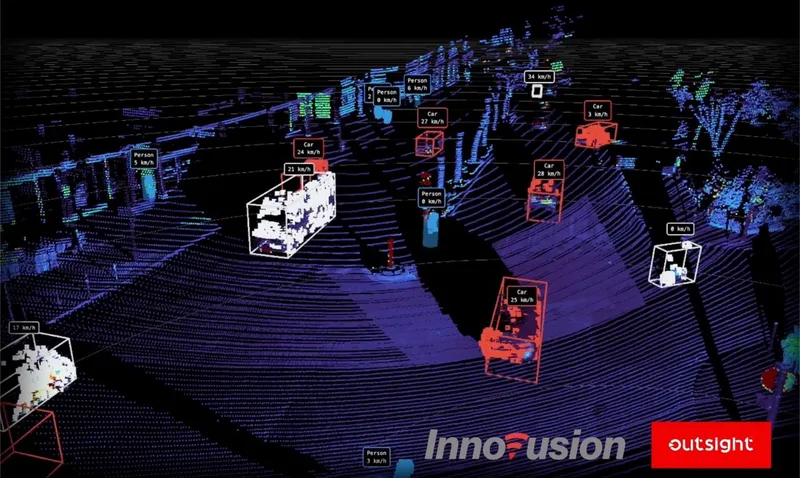
This alliance brings together Outsight’s cutting-edge LiDAR-based perception software with GridMatrix’s robust Software-as-a-Service (SaaS) traffic analytics solutions, establishing a new standard in smart city infrastructure and traffic management.

As an award winning leader of the LiDAR based 3D perception software market, Outsight will provide real-time, granular traffic data with unmatched accuracy and reliability.

Overview of Outsight

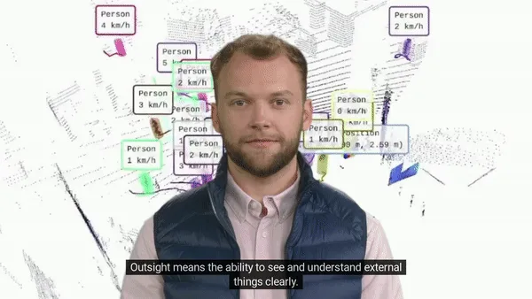
Outsight means the ability to see and understand things clearly: we transform Raw 3D data from different manufacturers into actionable information.

Read article →
GridMatrix, the industry leader in traffic analytics software, will leverage this high-definition data to generate comprehensive traffic reports, flow optimization, proactive incident detection and safety metrics.

Together, we will offer an integrated, end-to-end traffic management solution that promises to dramatically improve traffic monitoring, safety, and efficiency for their locale and state government customers and partners.

Our partnership with GridMatrix opens up new possibilities in the field of proactive traffic safety analytics” said Murat Atalay, Director of Customer Engagement and Solutions at Outsight. “By combining our technologies, we will provide municipalities with a powerful tool for understanding and managing traffic patterns in real time. This will enhance safety, reduce congestion, and promote more efficient, sustainable urban living.

The combined offering will empower local and state governments with unprecedented insights into their road networks, particularly through cutting-edge surrogate safety metrics and analysis.

By understanding the behavior and flow of traffic in real-time, authorities can make more informed decisions on road design, traffic signal timing, congestion management, and emergency response.

The integration of Outsight’s LiDAR perception technology with our traffic analytics platform will take our offerings to an entirely new level,” said Austin Wilson, Vice President of Business Development of GridMatrix. “Our partners and customers will now have access to a more complete and accurate understanding of their road networks. This partnership will enable our combined products to usher in a new world of systemic safety, drive equitable innovation throughout communities, and revolutionize traffic management.

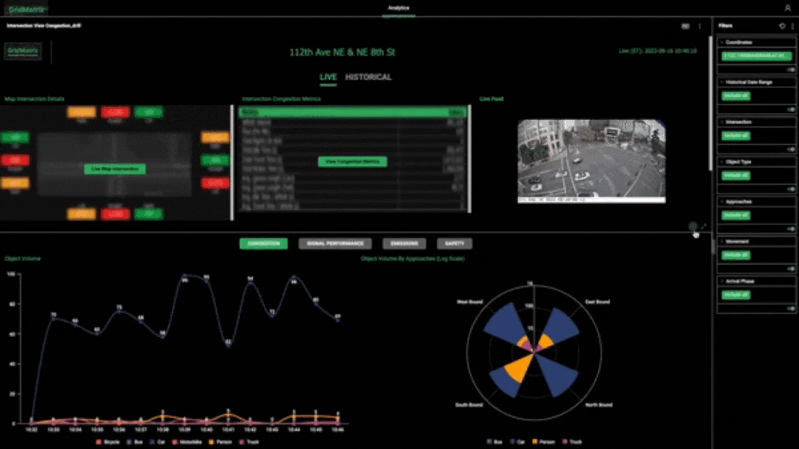
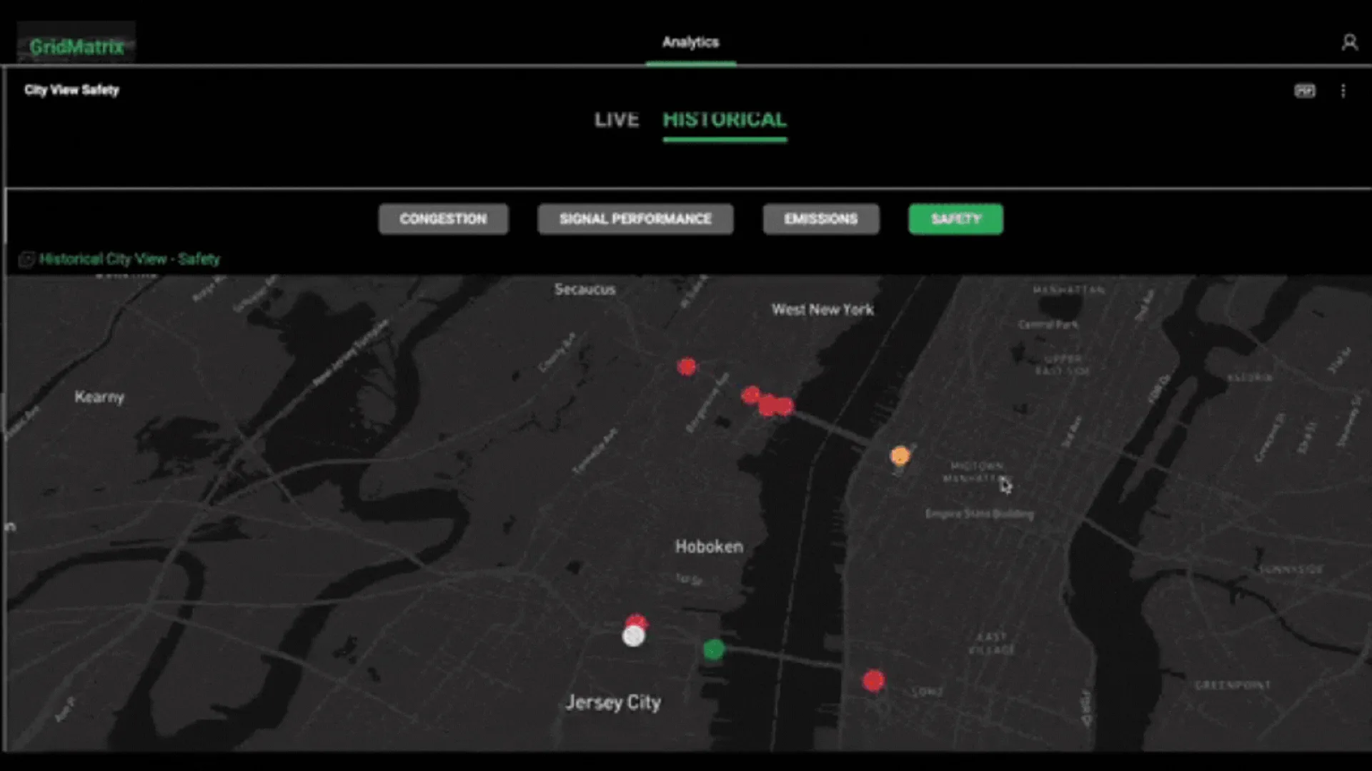
Gridmatrix dashboard showing the data collected

The announcement of the Outsight-GridMatrix partnership signals a significant step forward in the ongoing digital transformation of urban and suburban landscapes.

By leveraging artificial intelligence, LiDAR technology, and comprehensive analytics, the alliance sets a new standard for traffic management and city planning in the 21st century.
Related Articles

APPLICATIONS

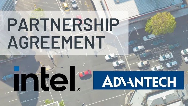
Outsight, Advantech, and Intel Unite to Launch a Smart Cities Solution

Outsight's Smart Cities solution in partnership with Intel & Advantech harnesses LiDAR tech for precision in urban management, enhancing safety and efficiency in high-traffic areas.

APPLICATIONS

New Partnership Agreement Between Outsight and Innovusion

The goal of this new partnership is focused on accelerating LiDAR technology in the ITS market.

Let's connect

Send us a Message

Drop your email and we'll get back to you as soon as possible.

Frequently Asked Questions

  • What are surrogate safety metrics in traffic management and why do they matter?

    Surrogate safety metrics measure conflict events between road users (near-misses, abrupt braking, encroachment on crosswalks) rather than waiting for actual collisions to occur. Because crashes are rare events, collision-based statistics take years to accumulate meaningful signal. Surrogate metrics let traffic engineers identify high-risk locations and intervene months or years before a fatal incident. LiDAR-based perception enables these metrics at scale because it captures the precise 3D trajectory, speed, and spacing of every vehicle and pedestrian, frame by frame, in real time. Outsight applies this capability through its SHIFT platform, which builds a real-time Motional Digital Twin of every moving entity at an intersection, supporting deployments such as the City of Bellevue's Vision Zero program where reducing conflict events before fatalities occur is the core objective.

  • What is GridMatrix and what does its traffic analytics platform do?

    GridMatrix is a Software-as-a-Service platform that takes high-definition road-network data and converts it into traffic reports, flow optimization recommendations, incident detection alerts, and safety metrics for local and state government customers. It sits above the perception layer: it consumes structured vehicle and pedestrian tracking data and produces the operational dashboards and analysis that transportation planners and traffic management centers use to make decisions. Through its partnership with Outsight, GridMatrix gains access to real-time, anonymous 3D tracking data generated by infrastructure-based LiDAR sensors, feeding its analytics layer with precise object-level inputs that camera-based systems typically cannot match for accuracy or privacy compliance.

  • How does LiDAR-based traffic perception differ from traditional loop detectors or video analytics for city intersections?

    Inductive loop detectors count axle crossings at fixed points but carry no information about vehicle type, speed profile, lane changes, or pedestrian presence. Standard video analytics classify objects from 2D images and lose accuracy in poor lighting or when vehicles overlap in the camera frame. LiDAR measures the precise 3D position, velocity, and shape of every road user simultaneously, across the entire intersection geometry, in darkness, rain, and direct sunlight, without recording faces or license plates. Outsight applies this approach at city scale through its infrastructure-based SHIFT platform, which builds a real-time anonymous 3D replica of how every person and vehicle moves through an intersection, a capability already deployed for Vision Zero smart-city programs such as the City of Bellevue.

  • Can a single traffic analytics deployment cover both vehicle flow and pedestrian safety at the same intersection?

    Yes. A LiDAR sensor network mounted on intersection infrastructure captures every road user in a shared 3D point cloud: cars, trucks, cyclists, and pedestrians tracked simultaneously with individual anonymous IDs. The same data feed produces vehicle throughput counts, queue lengths, and signal-timing inputs alongside pedestrian crossing times, near-miss events between vehicles and pedestrians, and compliance with crosswalk boundaries. No separate sensor layer is needed for each use case. Outsight applies exactly this approach through its SHIFT platform, which builds a real-time Motional Digital Twin of intersection activity. The City of Bellevue, for example, uses Outsight's infrastructure-based LiDAR deployments for Vision Zero intersections, covering both vehicle flow and pedestrian safety from a single sensor layer.

  • What does a real-time traffic management system actually do with sub-50ms LiDAR data at a city intersection?

    At sub-50ms latency, tracked vehicle and pedestrian positions are fresh enough to feed adaptive signal controllers, which adjust green-phase durations based on live queue lengths rather than fixed timing plans. Outsight's infrastructure-based Physical AI pipeline operates within that sub-50ms threshold, processing 3D LiDAR data from fixed sensors at the intersection rather than from instrumented vehicles, which means every road user is tracked regardless of whether it carries any onboard technology. The same latency supports incident detection: a stopped vehicle in a travel lane or a pedestrian in the roadway triggers an alert within one processing cycle. Outsight applies this approach in smart-city deployments such as the City of Bellevue's Vision Zero intersections. For non-safety workloads such as hourly flow reports, the data pipeline can deliver at a slower rate to reduce bandwidth and storage costs.

  • How does a LiDAR-based smart city traffic solution help governments justify road design changes?

    Because LiDAR continuously records the trajectory, speed, and interaction of every road user, transportation agencies accumulate a longitudinal dataset that directly links physical road geometry to observed behavior. A crosswalk relocation, a new protected bike lane, or a signal retiming can be evaluated before and after using the same spatial metrics rather than relying on manual counts or post-crash reports. Outsight's infrastructure-based approach, deployed at smart-city intersections such as those in Bellevue's Vision Zero program, generates this kind of persistent, anonymous 3D evidence through the SHIFT platform without capturing faces or license plates. That before-and-after evidence base is increasingly required by federal and state safety programs to release infrastructure funding.