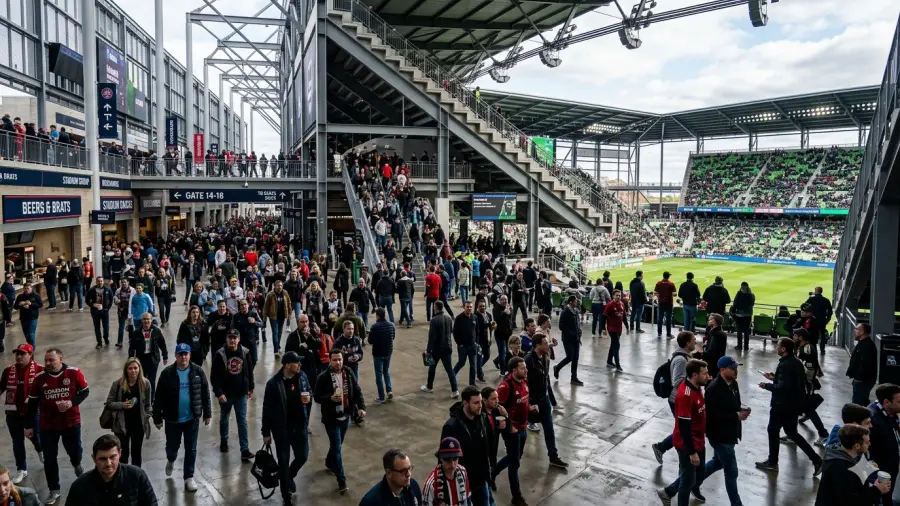
Operational Excellence
Operate on facts, not on estimates.
Measure wait times, dwell times, and occupancy heatmaps in real time, anticipate what comes next, and adapt staffing, flows, and asset use accordingly.


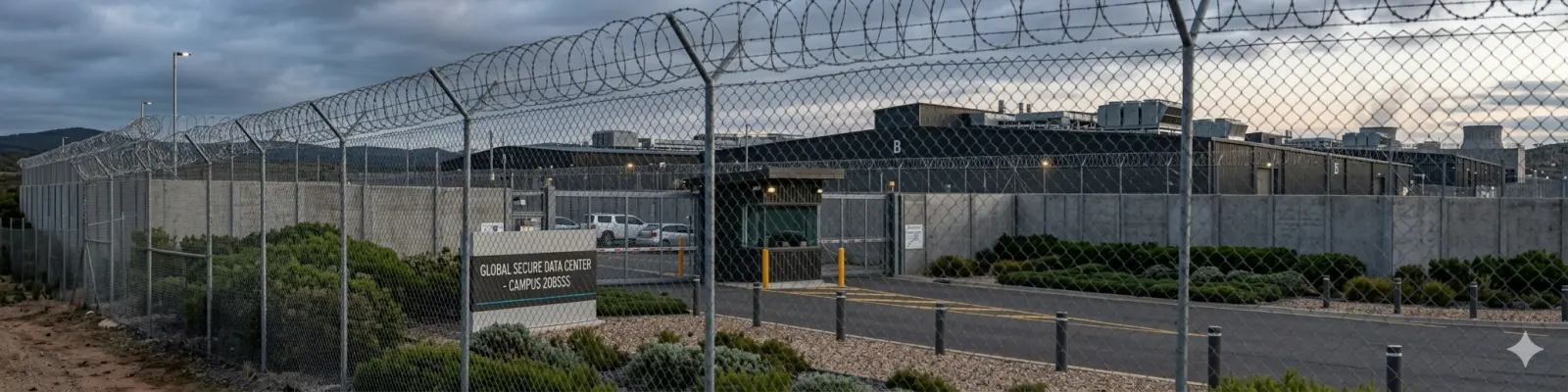
Infrastructure-based Physical AI
Anonymous IDs are assigned at the moment of entry and maintained with centimeter precision, uninterrupted, until exit. Any action is recorded as an event.
This results in an unprecedented wealth of spatial data, which we transform into actionable insights: flows, bottlenecks, dwell times, asset usage, and predictions.
This is what we call a Motional Digital Twin: intelligence delivered through a live 3D replica, custom KPIs, alerts, dashboards, or reports. One source of truth, tailored to every role.
283M+
persons tracked per year
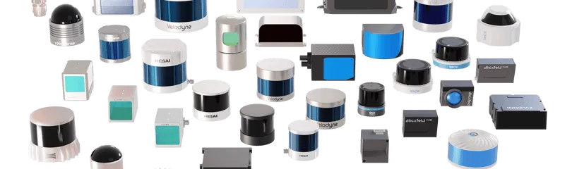
210+
compatible sensor models
76
patents filed
2TB+
processed per minute
From insight to impact
Operate on facts, not on estimates.
Measure wait times, dwell times, and occupancy heatmaps in real time, anticipate what comes next, and adapt staffing, flows, and asset use accordingly.
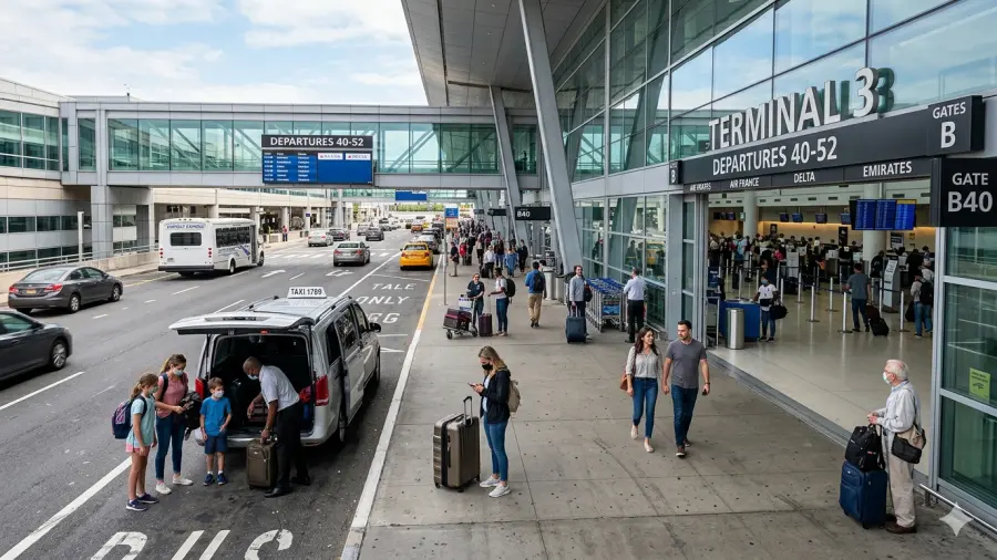
Every journey, understood end to end.
Anticipate friction, reduce wait times, and deliver the right intervention at the right moment, for every visitor, passenger, or customer.
Detect safety risks before they escalate.
Detect intrusions, near-misses, and unsafe behaviors in real time, across your full site, day and night, indoor and outdoor, without capturing a single image.
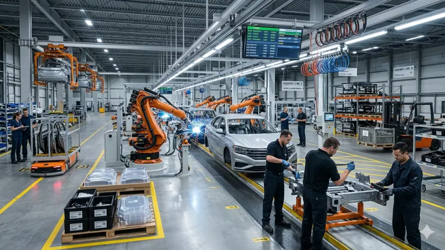
Beyond people counting.
Uncover visitor profiles through the attributes their behavior reveals, and turn them into better placement, better timing, and previously invisible revenue opportunities.
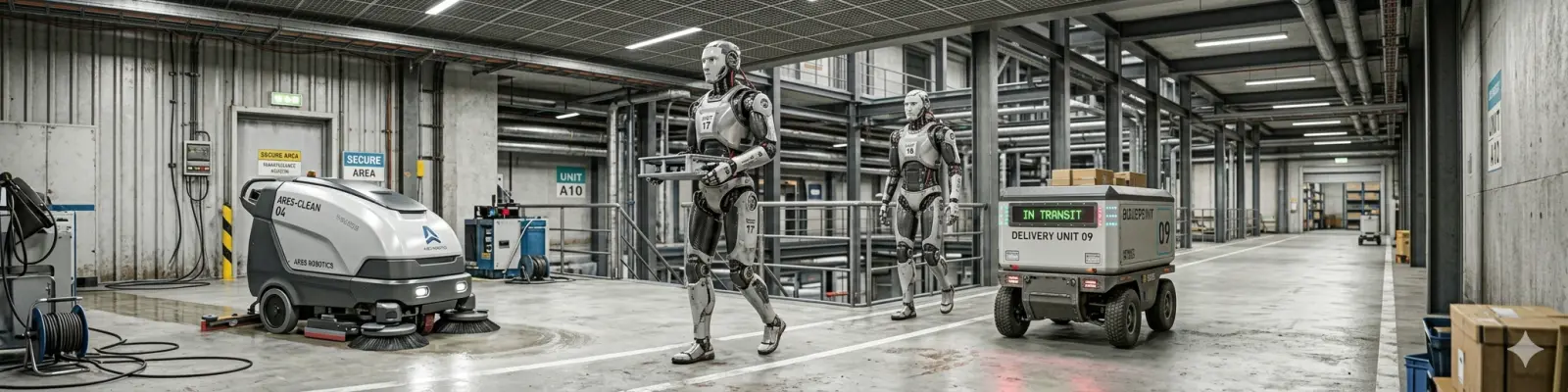
Situation Awareness beyond line of sight.
Shared site-wide awareness lets autonomous vehicles and robots operate safely alongside people, through occlusions and blind spots.
From estimates to evidence.
Ground capacity planning and renovations in how your site actually behaves, and run simulation scenarios fed by real data to anticipate any change before breaking ground.
Wherever things move

“LiDAR technology is becoming increasingly important for airports, Outsight caught our attention by providing a new level of intelligence to our operations with any sensor”
Groupe ADP
“Outsight's software was the ideal choice for optimizing smart intersections, thanks to its superior accuracy and seamless integration with existing infrastructure”
City of Bellevue
“Thanks to Outsight, Rome Airport has been able to improve real-time passenger flow monitoring, optimize operational management and provide a smoother experience for travelers.”
Aeroporti di Roma
The foundation of Physical AI
Physical AI needs a sensing technology that sees the world as it actually is: in three dimensions, continuously, and without compromising privacy. LiDAR is that technology.
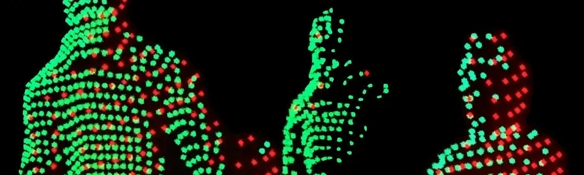
The only technology that captures position, shape, and behavior in true 3D, with centimeter precision and no personal data captured.

Works indoors and outdoors, day and night, in any weather. Automotive-grade reliability, with no blind spots across complex sites.
Scale economics, fewer sensors per site (vs. cameras), and dozens of competing manufacturers have brought LiDAR into mainstream infrastructure budgets.

Enables merging sensors. Every point is tied to a real 3D location, any other data source, from cameras to business systems, can be attached to it.
Beyond people tracking.
Real operations involve more than people. Vehicles on the curbside, robots on the warehouse floor, equipment or objects everywhere: Outsight tracks them all continuously, in the same shared spatial reference. The result is a complete, real-time view of physical flows across your entire site, indoors or outdoors.
A unique additional value
Laser light, unlike cameras, doesn't recognize people. You can now anonymously monitor individuals and vehicles without gathering any image, license plates, FaceID or other personal data.
Dive Deeper
Motional Digital Twins represent the third generation of digital twin technology, moving beyond static building models and asset monitoring to capture the real-time movement of every person, vehicle and robot across your premises.
Insights
Dallas Fort Worth, a major US Airport, selects Outsight for the largest 3D LiDAR deployment to enhance safety, operations, and passenger flow with Spatial Intelligence.

Through this agreement, enterprise customers can adopt Spatial Intelligence more easily, with fast, secure integration, streamlined procurement, and faster time-to-value.

Recognized for pioneering real-time digitalization of dynamic environments, Outsight sets itself apart by focusing on the live monitoring of people and vehicle flows.
Aeroporti di Roma expands its collaboration with Outsight to deploy Physical AI across nearly all Schengen common-use areas at Rome Fiumicino, following successful pilot results in the arrivals immigration area.