Skip to content
Insights
NEC & Outsight announcement

NEC and Outsight Advance Airport Intelligence with Proven Spatial AI Solutions

The solution provides real-time spatial awareness for passenger flow, queue monitoring, and security analysis.


NEC Corporation of America (NEC), a leader in identity management and IT solutions integration for enterprise and government infrastructure, and Outsight, a global provider of Spatial AI technology, today announced a strategic collaboration to deliver advanced airport operational intelligence solutions.

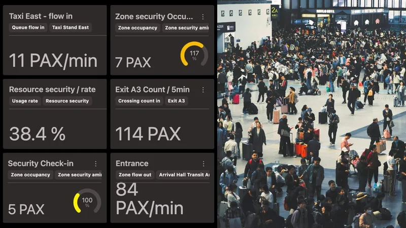
Digitizing Movement: The next generation of Digital Twins

Integrating people flow monitoring into Digital Twins with LiDAR and Spatial Intelligence delivers real-time insights, optimizing safety and efficiency.

Read article →

The companies are combining NEC’s comprehensive airport technology platform with Outsight’s proven 3D LiDAR Spatial Intelligence capabilities.

The solution integrates Outsight’s Spatial AI technology directly into NEC’s airport management systems, providing real-time 3D understanding of airport environments.

This combined platform supports a wide range of operation and passenger experience improvements, including:

  • Better passenger flow management with precise crowd density monitoring
  • Greater operational efficiency through real-time spatial analytics
  • Stronger security capabilities via automated behavioral analysis
  • Data-informed decisions using comprehensive 3D environmental insights

LiDAR Manages Increased Airport Traffic

See how and why Airports are increasingly using LiDAR-based software solutions to tackle their biggest challenges, leveraging the unique value of Spatial Intelligence.

Read article →

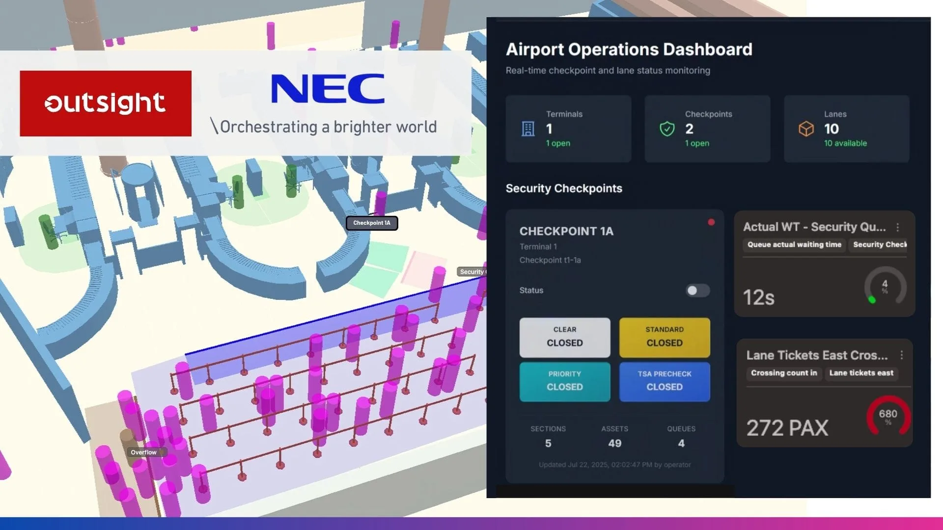
These capabilities are already being realized at a major international airport in North America, where the integrated system delivers anonymized spatial analysis at TSA checkpoints. The technology estimates queue density, passenger flow and wait times, with data shared on lobby displays to support real-time communication and travel awareness.

“Our first implementation and collaboration with Outsight shows how our integrated approach delivers not only practical value for airport operations, but real-time awareness to travelers,” said Bill Carleton, Director at NEC Corporation of America. “We’re excited to showcase this proven solution to the aviation industry.”

NEC and Outsight at World Aviation Festival in Lisbon

NEC and Outsight will showcase the integrated solution at World Aviation Festival in Lisbon from Oct. 7-9, 2025, with live demonstrations of airport deployment data. Attendees can experience firsthand how the combined platform delivers comprehensive Spatial Intelligence for modern airport operations.

Our partnership with NEC brings together complementary technologies that solve real airport challenges and that are rapidly being deployed at scale globally,” said Raul Bravo, President and co-founder of Outsight. “The Lisbon demo will show aviation professionals how LiDAR Spatial AI integrates seamlessly with existing airport infrastructure.

Technology stack combines LiDAR, AI and airport management systems

Outsight’s Spatial Intelligence Platform, based on LiDAR technology, captures and analyzes precise 3D environmental data using Spatial AI.

NEC’s platform processes and contextualizes this information for airport operations teams. Together, the technologies provide:

  • A real-time motional digital twin of airport spaces
  • Automated detection and anonymized tracking of people and objects
  • Behavioral pattern analysis to enhance security and efficiency
  • Integration with existing airport systems
  • Scalable use across a range of airport environments
Related Articles

AIRPORTS

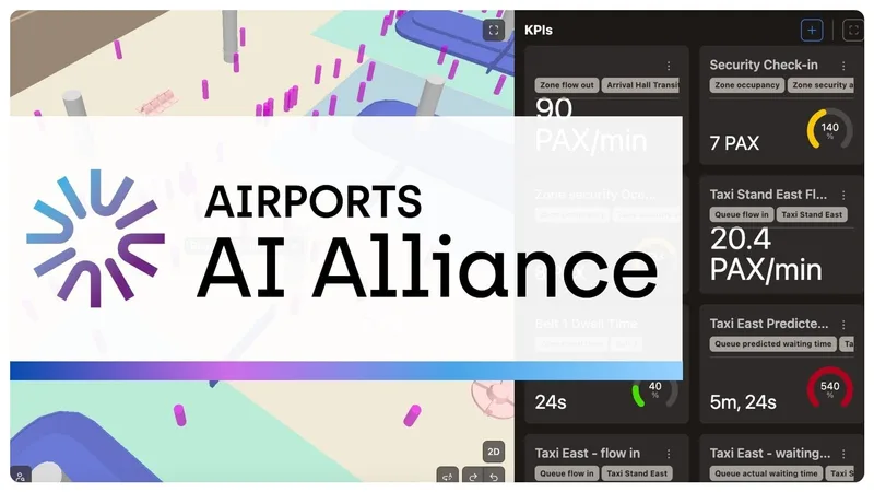
Outsight Joins the Airport AI Alliance to Drive Innovation in Aviation

Outsight joins the Airport AI Alliance to drive innovation and shape the future of AI-powered airport solutions. By collaborating within the Alliance, members are driving innovation in airport infrastructure.

AIRPORTS

Optimizing Airport Operations with LiDAR-Based Passenger Tracking

Rising passenger volumes are pushing airports to operate with greater precision and efficiency. LiDAR-based Spatial Intelligence provides real-time visibility, enhancing flow, safety, and overall passenger experience.

Let's connect

Send us a Message

Drop your email and we'll get back to you as soon as possible.

Frequently Asked Questions

  • What does NEC bring to airport operations that LiDAR alone does not cover?

    NEC specializes in identity management and IT systems integration for enterprise and government infrastructure. In a joint deployment with Outsight, NEC's airport management platform provides the operational context layer: routing spatial data to the right teams, connecting it to gate systems, and surfacing it on lobby displays. Outsight's SHIFT platform supplies the 3D perception backbone, generating a real-time Motional Digital Twin of every person and vehicle moving through the terminal. Neither replaces the other; the value comes from processing raw spatial events through a platform already wired into airport workflows, combining Outsight's anonymous LiDAR-native sensing with NEC's deep integration into the operational systems airports already rely on.

  • How does anonymized spatial analysis work at a TSA checkpoint?

    At a TSA checkpoint, 3D LiDAR sensors mounted in the ceiling or on structural gantries capture the shape and position of every person in the queue without recording faces, clothing details, or any biometric attribute. Outsight's Motional Digital Twin processes this point-cloud data in real time, counting bodies, estimating queue depth, and calculating wait time from the rate at which the queue advances. Because LiDAR captures geometry and motion rather than visual imagery, the output is a set of operational metrics with no personal data attached, making it compliant with privacy regulations by the nature of the sensor rather than by post-processing. This infrastructure-based approach is already operational at major airports, including Dallas Fort Worth, the world's largest 3D LiDAR airport deployment.

  • Can spatial intelligence data from LiDAR be shown on public-facing airport displays?

    Yes. Because the underlying data consists of anonymous occupancy and wait-time estimates rather than identity records, it carries no legal or reputational risk when surfaced publicly. This anonymity is a structural property of LiDAR-based perception: Outsight's Motional Digital Twin captures shape and motion, never faces or biometric data, so the output is safe for public display by definition. At the North American airport deployment described in the NEC-Outsight integration, queue density and estimated wait times are shared on lobby displays so travelers can make informed routing decisions before joining a checkpoint line. The same data can feed airline apps or terminal digital signage with no additional anonymization step required.

  • What is behavioral pattern analysis in an airport security context?

    Behavioral pattern analysis uses tracked entity trajectories to flag movement that deviates from expected flow: a person stopped for an unusually long time in a restricted zone, someone moving counter to the normal passenger stream, or an object left without an associated person nearby. These patterns are identified by a spatial AI layer comparing live entity states against operator-defined rules, triggering an alert rather than requiring continuous manual video review. Outsight's Motional Digital Twin applies this approach in airports using infrastructure-mounted LiDAR, where the input is position, velocity, and dwell time rather than any image or facial data, keeping analysis anonymous by definition. Deployments at airports such as Paris-Charles de Gaulle and Rome Fiumicino demonstrate how this model scales across complex terminal environments.

  • Does deploying spatial AI at TSA checkpoints require changes to the physical checkpoint infrastructure?

    LiDAR sensors used for checkpoint monitoring mount on existing structural elements: ceiling grids, wall brackets, or overhead gantries already present in most terminal checkpoint areas. They require a power feed and a network connection to an edge processing node, but no lane modifications, floor sensors, or changes to the screening equipment itself. Outsight's infrastructure-based approach, deployed at major airports including Dallas Fort Worth and Paris-Charles de Gaulle, follows exactly this model: sensors attach to fixed infrastructure rather than to screening lanes or moving equipment, and the SHIFT platform processes the resulting 3D data in real time without capturing faces or biometric information. This non-invasive installation profile allows airports to add spatial analytics to operational checkpoints without suspending screening during deployment.