Where & When
Position & Movement
Current location, historical and current trajectory, speed of movement, dwell times, queuing, and cumulated behaviours.


Infrastructure-based Physical AI
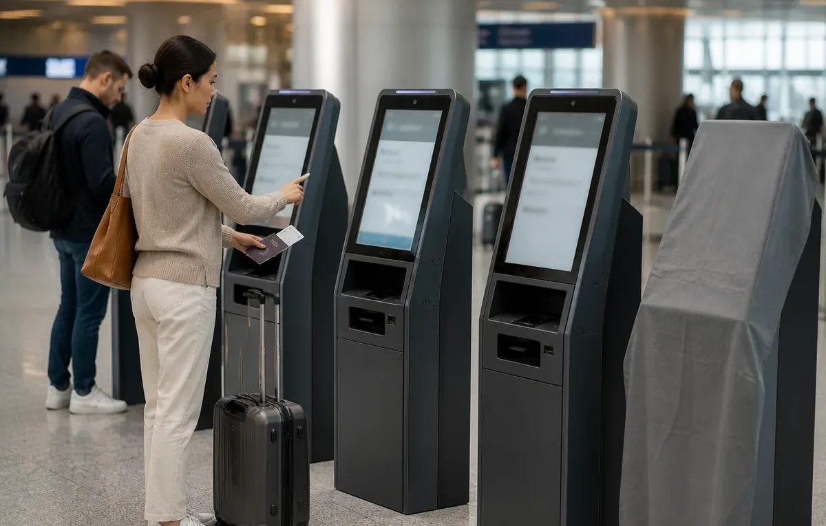
Anonymous IDs are assigned the moment a traveler enters the terminal and maintained with centimeter precision, uninterrupted, from curbside to gate. Every interaction is recorded as an event.
This results in an unprecedented view of terminal operations, which we transform into actionable insights: passenger flows, security queues, dwell at retail, gate readiness, and demand forecasts.
A Motional Digital Twin: intelligence delivered through a live 3D replica, custom KPIs, alerts, and dashboards. One source of truth for operations, security, retail, and ground handling.
Airport-wide Spatial Intelligence
Visibility and Analytics go beyond indoor passenger flows, extending outdoors to vehicles and the interactions between people and traffic.
This delivers uninterrupted awareness of the full journey from curb to gate, plus more efficient and safer curbside operations through a live 3D view of everything happening in real time.
Unlocking Airport-wide Physical Flows Insights
Every journey, understood across four key aspects and captured continuously for millions of people and objects, reveals how your site truly operates.
Where & When
Current location, historical and current trajectory, speed of movement, dwell times, queuing, and cumulated behaviours.
Who
Staff vs. visitor, adult or child, wheelchair, vehicle class, plus any external attribute linked to a person (e.g. POS data).
What
Interactions with physical resources, zones of interest, and touchpoints. Arrival or departure, joining a queue, completing a purchase.
How much & How often
Equipment use, seats, boarding gates, check-in counters, sanitaries, immigration desks, and any other asset.
From insight to impact
Operate on facts, not on estimates.
Measure wait times, dwell times, and occupancy heatmaps in real time, anticipate what comes next, and adapt staffing, flows, and asset use accordingly.
Every journey, understood end to end.
Anticipate friction, reduce wait times, and deliver the right intervention at the right moment, for every visitor, passenger, or customer.
Detect safety risks before they escalate.
Detect intrusions, near-misses, and unsafe behaviors in real time, across your full site, day and night, indoor and outdoor, without capturing a single image.
Beyond people counting.
Uncover visitor profiles through the attributes their behavior reveals, and turn them into better placement, better timing, and previously invisible revenue opportunities.
Situation Awareness beyond line of sight.
Shared site-wide awareness lets autonomous vehicles and robots operate safely alongside people, through occlusions and blind spots.
From estimates to evidence.
Base capacity planning and renovations on real site behavior, using data-driven simulations to anticipate changes before breaking ground.
“Thanks to Outsight, Rome Airport has been able to improve real-time passenger flow monitoring, optimize operational management and provide a smoother experience for travelers.”
Aeroporti di Roma
“Our implementation and collaboration with Outsight shows how our integrated approach delivers not only practical value for airport operations, but real-time awareness to travelers.”
NEC
“Airports aren't buildings, they're living organisms of motion. Motional Digital Twins finally give operators the nervous system they need.”
DTC
From movement to intelligence
What happened
Replay any past moment in 3D. Mine months of operations for patterns, anomalies, and root causes.
What's happening
Occupancy, dwell, throughput, queues, surfaced the instant they cross your thresholds.
What will happen
Forecast demand, bottlenecks, and congestion before they happen.
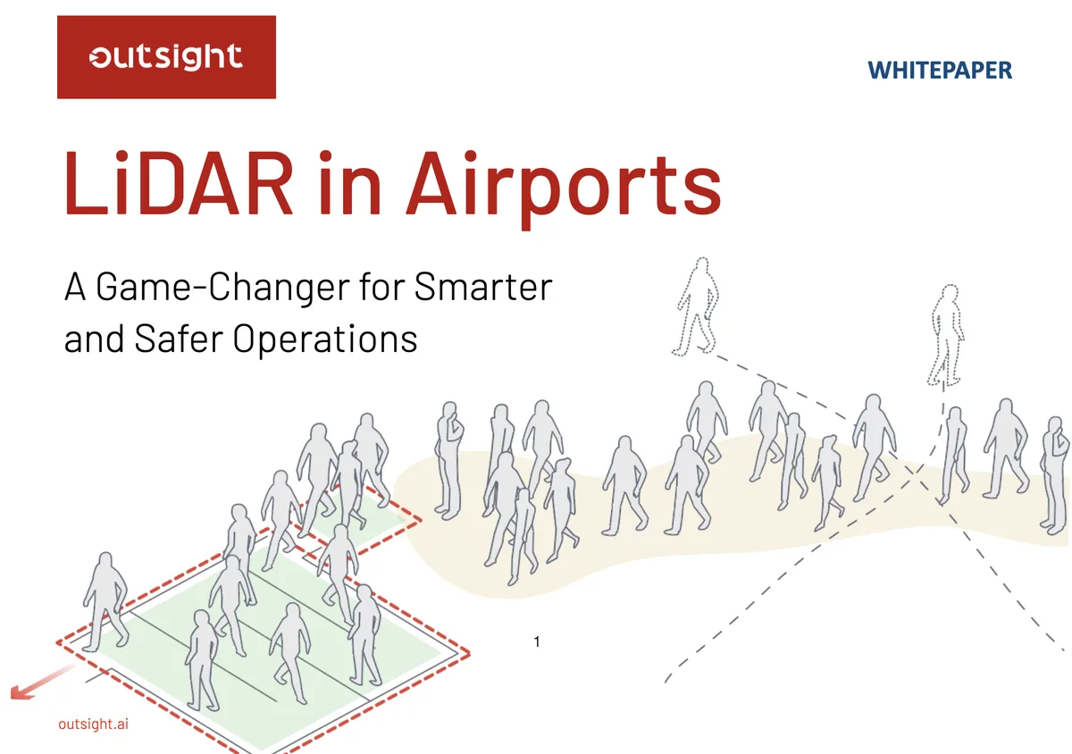
Dive Deeper
How LiDAR enhances airport operations and safety through People Flow and Curbside Monitoring.
A unique additional value
Laser light, unlike cameras, doesn't recognize people. You can now anonymously monitor individuals and vehicles without gathering any image, license plates, FaceID or other personal data.
Insights
Outsight’s Shift platform integrated into Google Distributed Cloud Edge powered by Intel Xeon 6 SoC – Live demonstration at Google Cloud Next 2026
In its latest Emerging Tech Impact Radar: Computer Vision report, Gartner identifies Outsight as a key vendor in Spatial Computing, alongside major technology players such as Nvidia, Meta, Alphabet, and Matterport.

We are excited to share that Outsight has attained SOC 2 compliance, proving our commitment to safeguarding the security and privacy of customer data.
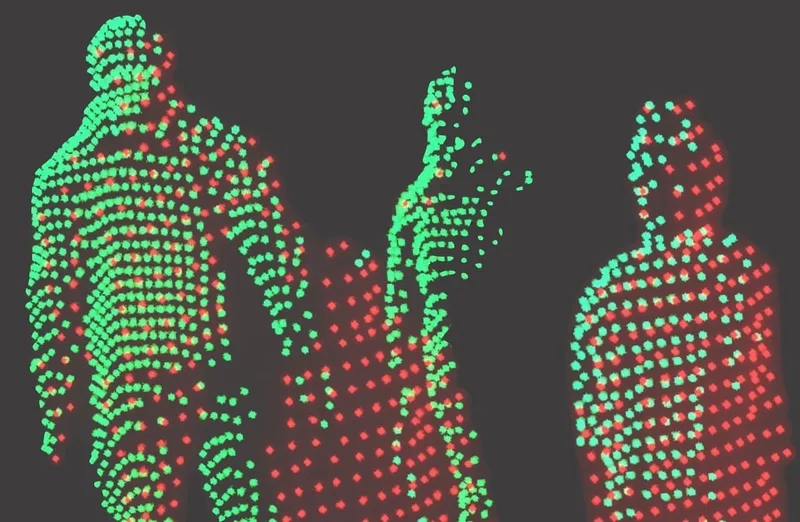
Unlike cameras, which perceive reality from a single point of view, 3D native data from LiDAR opens up new possibilities.