Real-time passenger flow analysis is the new baseline for airport operations
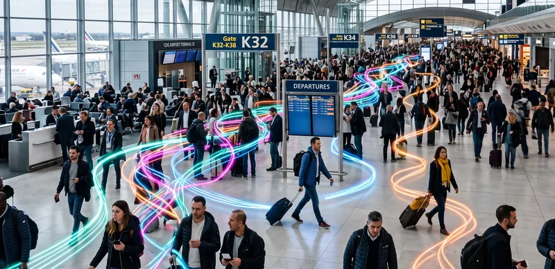
Airports run on movement. Every minute a passenger spends stuck at a checkpoint, a gate, or a baggage belt is a minute that erodes satisfaction, throughput, and revenue. Operations and security leaders increasingly want to see that movement as it happens, not in a report the next morning.
The gap is rarely ambition. Most teams already know what they want to measure: how many people are in a zone, how fast queues are growing, where bottlenecks are forming, and whether a crowd is becoming a safety risk.
Why Now? The 7 Key Drivers Accelerating LiDAR Adoption in Airports
Discover the 7 key drivers making LiDAR-based Spatial Intelligence a reality in airports, real-time, anonymous, and ready for global deployment.
Read article →
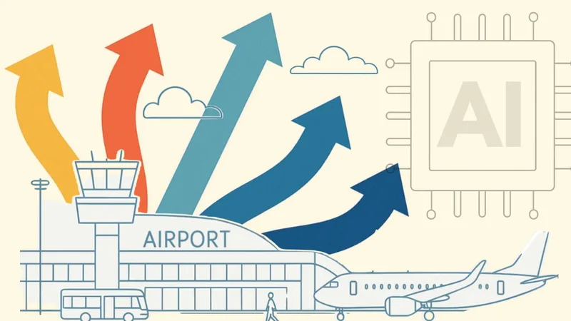
This guide covers the main barriers to real-time passenger flow analysis in airports and transit hubs, and how privacy-safe 3D LiDAR based spatial intelligence closes the gap between what operators want to see and what they can actually act on.
Why passenger flow is so hard to measure in real time
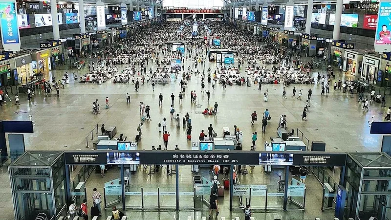
The complications start with the environment. A terminal is a large, dynamic space with constantly shifting lighting, reflective surfaces, dense crowds, and people moving in every direction. The tools most airports inherited were never built for that.
The recurring passenger flow complications fall into a few categories:
- Coverage gaps from legacy sensors. Cameras struggle in low light, glare, and crowded scenes where people occlude one another. Manual counts and gate scans only capture fixed points, missing what happens between them.
- Privacy and compliance risk. Camera-based analytics capture identifiable images, which raises GDPR, CCPA, and BIPA exposure and slows or blocks deployment in regulated environments.
- Accuracy that breaks under load. Counting tools that work in a quiet corridor lose precision exactly when it matters most: peak hours, irregular operations, and surge events.
- Fragmented infrastructure. Flow data, security feeds, and operational systems often live in separate silos, so no single view of the terminal exists.
Each of these is a real-time monitoring challenge on its own. Together, they leave operations and security teams reacting to problems instead of anticipating them.
The cost of late data
Data processing delays are not a technical footnote. They change what an operations team can do.
When flow data arrives minutes late, staffing decisions are reactive. Lanes open after the queue has already built, gate changes ripple into missed connections, and a developing crowd is noticed only when it is already a concern. Late data turns preventable friction into incidents.
The value is not the dashboard, it is the time it buys.
How 3D LiDAR Spatial Intelligence closes the gap
Outsight delivers Spatial Intelligence based on 3D LiDAR data, enriched with multi-modal information.
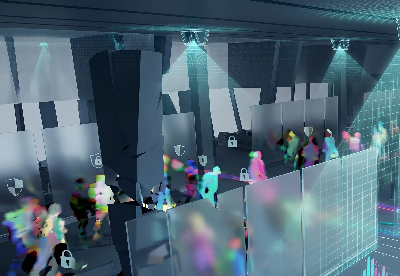
Instead of capturing images, LiDAR sensors map the physical space as a real-time 3D point cloud, detecting and tracking people as anonymous shapes moving through the terminal.
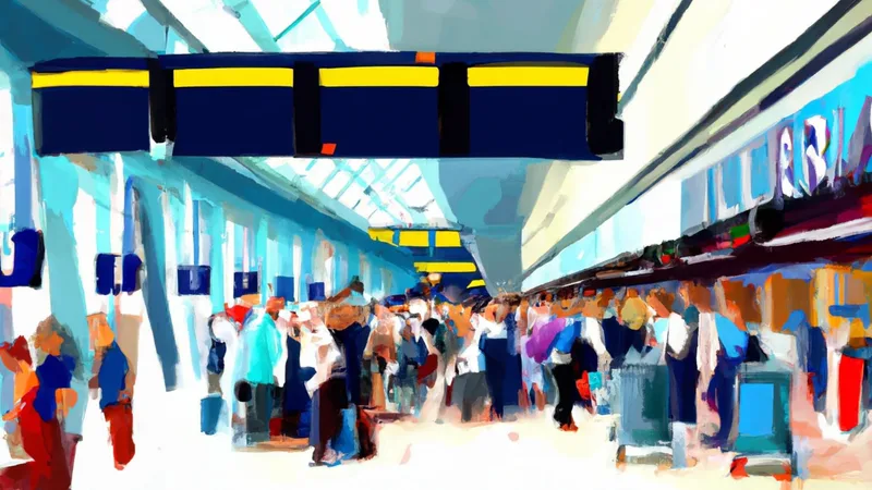
How can LiDAR improve passenger’s experience in Airports
According to the New York Times, the cumulative wait time in airport queues is 37 billion hours. LiDAR Software can help.
Read article →
That distinction matters for every barrier above.
Accuracy in conditions where cameras fail
LiDAR measures distance directly and does not depend on ambient light, so it performs the same at 3 a.m. as it does at midday peak.
It handles glare, shadow, and reflective glass, and its 3D view separates individuals in dense crowds where 2D cameras blur people together. The result is reliable counting and tracking precisely when load is highest.
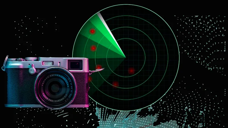
An in-depth comparison of LiDAR, Cameras, and Radars’ technology
This article explores the capabilities and limitations of each type of sensor, to provide a clear understanding of why LiDAR has emerged as a strong contender in computer vision tech race.
Read article →
Privacy by design
Because LiDAR captures shape and position rather than faces or biometric detail, passengers are tracked anonymously.
There is no identifiable image to store, secure, or govern.
Real-time processing, not next-day reports
Outsight processes the LiDAR stream into structured flow data on the spot, so density, counts, queue length, dwell time, and flow direction are available continuously rather than after a cloud round trip.
Operators see what is happening now, which is the entire point of real-time passenger flow analysis.
One spatial layer across the terminal
A LiDAR-based spatial layer produces consistent flow data across check-in, security, retail concourses, gates, and baggage.
That shared foundation feeds transportation data analytics and integrates with existing operational and security systems, so flow insight stops living in a silo and becomes part of how the whole terminal is run.
What this means for airport operations and security leaders
Real-time passenger flow analysis is no longer a nice-to-have layered on top of legacy cameras and manual counts.
For operations leaders, that means proactive staffing and shorter queues. For security leaders, it means earlier warning on crowding and a continuous, anonymous view of the space. For both, it means decisions based on what is happening now rather than what happened an hour ago.
If you are evaluating how to bring real-time visibility to your terminal or transit hub, talk to Outsight about deploying LiDAR-based spatial intelligence on your existing transport infrastructure.