Skip to content
Insights
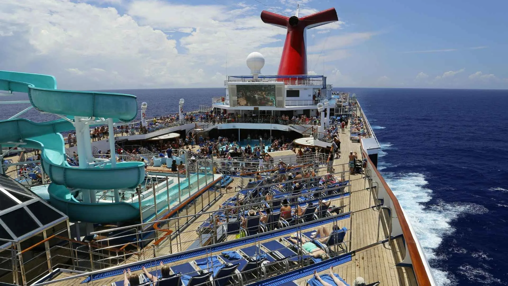
Cruise ship top view with passengers moving across multiple decks.

Optimizing Passenger Flow on Cruise Ships with 3D LiDAR

Outsight’s 3D LiDAR-based Spatial Intelligence helps cruise operators track passenger movement in real time, reduce congestion, and optimize resources, ensuring smoother operations and enhanced guest experiences.


The largest cruise ships, such as Royal Caribbean’s Symphony of the Seas, can carry over 6,000+ passengers and span up to 361 m in length and 66 m in height.

With these growing numbers and spaces, monitoring passenger flow has never been more crucial.

Maintaining safety and privacy, ensuring comfort, and optimizing operational efficiency on a cruise ship requires an accurate understanding of how passengers move throughout the ship. Traditional methods of monitoring passenger movement often fall short, failing to provide the real-time insights necessary for such a fast-moving and dynamic environment. This is where third-generation perception technologies, like 3D LiDAR, come in.

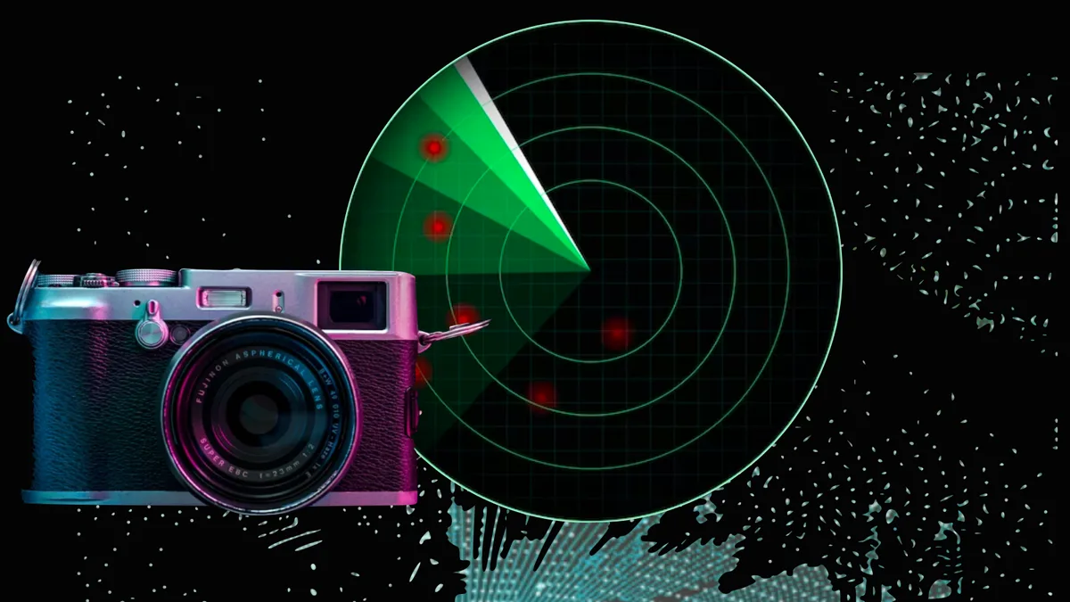
A detailed comparison of LiDAR, Radar and Camera Technology

This article explores the capabilities and limitations of each type of sensor, to provide a clear understanding of why LiDAR has emerged as a strong contender in computer vision tech race.

Read article →
Why Monitoring Passenger Flow Matters in Cruise Ships

Monitoring the flow of passengers on cruise ships is essential for several reasons:
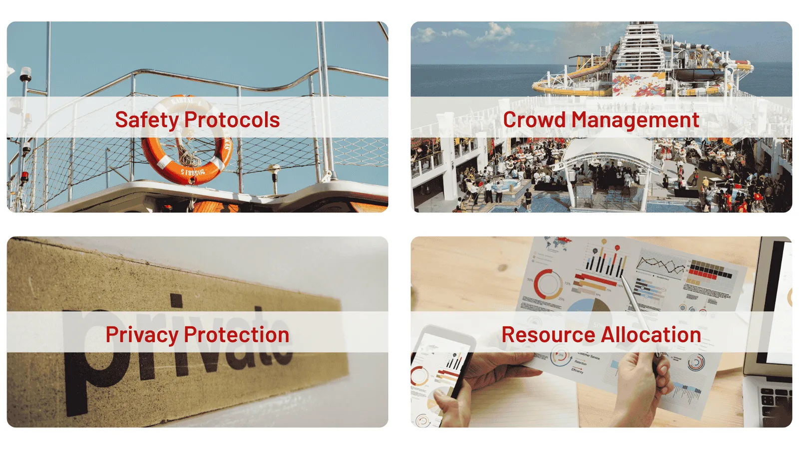
Key benefits of passenger flow monitoring on cruise ships.

Key benefits of using Spatial Intelligence for cruise passenger flow.

  • Safety protocols: Ensuring passengers are distributed safely and not congregating in risky areas.
  • Privacy protection: Unlike camera-based systems that rely on personal imagery, LiDAR-based monitoring provides accurate, anonymous insights, tracking movement and density without capturing any identifiable data.
  • Crowd management: Preventing bottlenecks, especially during high-traffic moments like embarkation, disembarkation, or mealtimes.
  • Resource allocation: Effectively distributing resources such as staff, security, and services where they are needed most.

During the embarkation and disembarkation processes, passengers move through narrow corridors and checkpoints in large groups. Without effective passenger flow monitoring, bottlenecks can occur, leading to delays and potential safety risks. With real-time data, operators can anticipate these issues and take action before they escalate, while maintaining the highest privacy standards for guests.
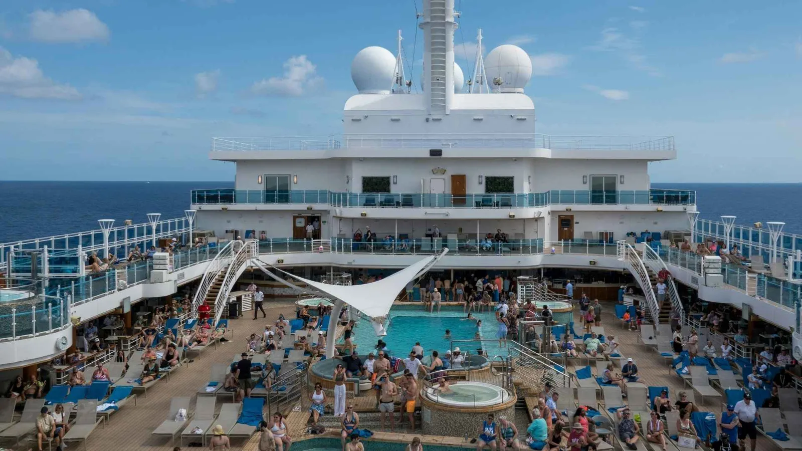
Crowded cruise ship deck with passengers engaging in multiple floors.

Cruise ships are designed with a wide variety of activities to keep passengers engaged: from pools, spas and fitness centers to theaters, shopping, dining and other entertainment venues like arcades or live-music areas. Monitoring passenger movement allows cruise operators to better map passenger flow and allocate resources based on demand.

By understanding how guests move, cruise operators can improve personalized journeys, ensuring the right services are available for the right passengers at the right time.

If a dining area or bar becomes overcrowded, staff can be redirected to manage service or guide passengers toward less busy venues. Conversely, if a pool deck or lounge is underutilized, operators can promote activities or adjust lighting and music to attract more guests.

Onboard events and mealtimes are also critical moments when crowding can become an issue. When large groups gather, certain areas can become overcrowded, negatively impacting guest experience and staff efficiency.

Optimized passenger flow during embarkation can significantly reduce boarding time.

How 3D LiDAR Works for Cruise Passenger Flow Analysis

3D LiDAR (Light Detection and Ranging) is a technology that uses laser light and enables the creation of highly detailed, accurate 3D maps of an environment. In the context of a cruise ship, LiDAR sensors are strategically placed around the ship to continuously scan and track passenger movement.

LiDAR provides precise, non-intrusive measurements of passengers’ positions and movements in real-time, ensuring privacy and compliance with regulations.

For cruise ships, this technology is ideal. Ships often operate in low-light environments, and LiDAR’s active sensing capabilities enable it to work seamlessly in the dark, unlike cameras that require lighting.

LiDAR’s ability to detect movement with centimeter-level precision makes it ideal for monitoring crowded areas, ensuring that potential issues can be addressed before they affect the passenger experience.

What is Lidar?

3D LiDAR, with the right software, delivers precise Spatial Intelligence for industries like smart infrastructure and automation, enabling accurate mapping while protecting privacy.

Read article →
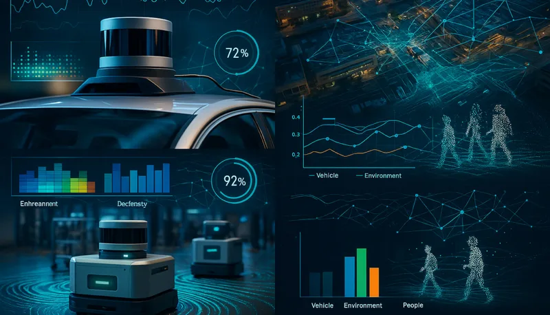
Additional Benefits of 3D LiDAR Technology in Cruise Ships

Implementing 3D LiDAR technology on cruise ships offers several other benefits, including:

  • Improved resource management: Understanding passenger flows enables better allocation of staff and resources, reducing bottlenecks and waiting times.
  • Enhanced security: LiDAR provides real-time monitoring to detect unauthorized access or unusual patterns. When integrated with PTZ cameras, it enables automated alerts and focused responses for faster, more precise security action.
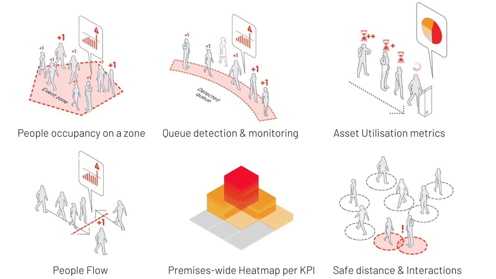
Graphics illustrating KPIs tracked by Spatial Intelligence on cruise ships.

KPIs tracked by Spatial Intelligence.

  • Dwell time insights: Operators can gain precise data on where passengers spend the most time, whether at restaurants, pools, or entertainment areas, helping identify popular zones and potential crowding points. This enables proactive crowd management and better space utilization.
  • Cost savings: With real-time insights into operations, cruise operators can optimize staffing levels and reduce inefficiencies, leading to cost savings over time.
  • Better guest experiences: A smoother journey with less waiting, less crowding, and a more personalized experience results in higher satisfaction among passengers.

Spatial Intelligence and the Future of Cruise Ship Management

Spatial intelligence is the ability to perceive and analyze the physical space around us in real-time. For cruise ships, spatial intelligence is a game-changer. It allows operators to process LiDAR data, understand passenger behavior, and take action to improve the overall experience.

As the cruise industry continues to evolve, leveraging 3D LiDAR and spatial intelligence will become essential for operators looking to stay ahead. Outsight’s innovative solutions enable cruise ships to not only optimize operations and improve safety but also deliver higher levels of satisfaction for their passengers.

By embracing 3D LiDAR and Spatial Intelligence, cruise operators can enhance operational efficiency, improve safety, and elevate the passenger experience. With real-time data and insights, cruise ships can become smarter, more responsive, and more enjoyable for passengers.

Related Articles

AIRPORTS

Achieving Complete Synchronization in Airports with Spatial AI Technology

LiDAR technology helps achieve synchronized operations across all areas of an airport. Outsight’s Spatial Intelligence platform provides real-time tracking, efficient resource allocation, and ensures privacy.

APPLICATIONS

How to analyze real-time passenger flow in airports

The barriers that stall real-time passenger flow analysis in airports, and how privacy-safe 3D LiDAR spatial intelligence restores visibility and speeds response.

Let's connect

Send us a Message

Drop your email and we'll get back to you as soon as possible.

Frequently Asked Questions

  • Can LiDAR sensors work in the low-light and enclosed corridors typical of cruise ships?

    LiDAR is an active sensor: it emits its own laser pulses and measures the reflected return, so ambient lighting has no effect on accuracy. Narrow corridors, below-deck passages, and nighttime pool decks are all tracked at the same centimeter-level precision as a sunlit promenade deck. Camera-based systems require adequate illumination to resolve a usable image, which makes them structurally dependent on lighting infrastructure that cruise ships often cannot provide consistently throughout a vessel. This lighting-independence is a core reason Outsight's infrastructure-based approach relies exclusively on LiDAR rather than cameras: the SHIFT platform processes 3D point clouds in real time, capturing shape and motion in any enclosed or low-light space without needing supplemental lighting or exposing passengers to any biometric data collection.

  • How does a cruise ship handle passenger tracking across multiple decks simultaneously?

    Multi-deck coverage follows the same architectural pattern used in large airport terminals: LiDAR sensors mounted in fixed infrastructure (ceilings, bulkheads, overhead gantries) are fused into a single shared 3D point cloud. Each tracked entity keeps a persistent anonymous ID as it moves between decks and sensor zones, so the system maintains continuous trajectory data across the whole vessel rather than losing and re-acquiring passengers at every deck transition. Outsight applies this same infrastructure-based approach across complex multi-zone environments, including major airports such as Dallas Fort Worth and Paris-Charles de Gaulle, where the Motional Digital Twin stitches together hundreds of sensor zones into one unified, real-time spatial model without ever capturing faces or biometric data.

  • What specific KPIs can cruise operators pull from a LiDAR-based flow system?

    A LiDAR-based spatial intelligence deployment on a cruise ship can surface occupancy counts by zone, dwell time at restaurants or entertainment venues, queue length at embarkation checkpoints, throughput rate through corridors during peak events, and anomaly flags for unusually stationary groups. Outsight's SHIFT platform organizes these KPIs into live dashboards for bridge or guest-services teams and historical analytics for post-voyage operational review. Because the system is built on LiDAR rather than cameras, no passenger identity data enters the pipeline: the sensor captures shape and motion, never faces or biometric information, making privacy compliance straightforward for operators handling international passenger manifests.

  • Does GDPR or maritime data protection law create compliance issues for passenger tracking on ships?

    LiDAR captures geometry and motion, not images, faces, or personal identifiers. Because no biometric or personally identifiable data is recorded at any point, there is nothing to anonymize after the fact. Outsight's infrastructure-based approach embeds this privacy guarantee at the sensor level: the SHIFT platform processes 3D point clouds that describe shape and movement, making the system compliant with GDPR and similar privacy frameworks by structural design rather than by policy configuration. That distinction matters on vessels operating across multiple jurisdictions in a single voyage, where data-handling regimes that vary port to port create real legal exposure. A design that is anonymous by definition removes that variable entirely.

  • How does LiDAR compare to Wi-Fi or Bluetooth tracking for passenger flow on a cruise ship?

    Wi-Fi and Bluetooth sniffing detect devices, not people, so accuracy degrades when a passenger carries multiple devices, shares a device with a travel companion, or leaves a device in their cabin. Neither method provides position precision below a few meters, and neither captures queue geometry or crowd density. LiDAR tracks every person in the scene at centimeter resolution regardless of what devices they carry, making it measurably more reliable for the dense, fast-moving crowd events (embarkation surges, show-let-out crowds) that are operationally most critical on a ship. Outsight's infrastructure-based approach extends this further: its 3D LiDAR pipeline processes positional data end-to-end in under 50 milliseconds and captures shape and motion without collecting faces or biometric data, giving cruise operators both the speed and the privacy profile that device-based methods cannot match.

  • Can the same LiDAR infrastructure used for passenger flow also support security monitoring on a cruise ship?

    The same sensor network and underlying 3D tracking pipeline supports both use cases. For passenger flow, the system surfaces occupancy, dwell, and congestion metrics. For security, the same tracked-entity stream can trigger alerts for unauthorized access to restricted areas, loitering beyond defined thresholds, or unusual movement patterns. Outsight's SHIFT platform is built around this dual-purpose architecture: because the Motional Digital Twin maintains a continuous, anonymous 3D model of every person moving through a space, operators can apply different analytical layers to the same real-time data without deploying separate sensor networks. When PTZ cameras are integrated alongside LiDAR, the spatial system provides targeting coordinates so cameras automatically orient to the flagged location, reducing the manual workload on security staff.

  • How large are the biggest cruise ships, and why does their size make passenger flow monitoring so important?

    The largest cruise ships, such as Royal Caribbean's Symphony of the Seas, can carry more than 6,000 passengers and measure up to 361 m in length and 66 m in height. These ships host a wide variety of activities, from pools, spas and fitness centers to theaters, shopping, dining, arcades and live-music areas. With these growing numbers and spaces, operators need an accurate, real-time understanding of how guests move to keep them safe, comfortable and well served. Spatial Intelligence based on 3D LiDAR gives crews that continuous picture of movement and density across the ship.

  • How can real-time passenger flow data speed up embarkation and disembarkation on a cruise ship?

    During embarkation and disembarkation, large groups of passengers move through narrow corridors and checkpoints, which easily creates bottlenecks, delays and potential safety risks. Spatial Intelligence based on 3D LiDAR gives operators real-time data on passenger movement and density at these points. With that live data, operators can anticipate these issues and take action before they escalate. Optimized passenger flow during embarkation can significantly reduce boarding time, while the highest privacy standards for guests are maintained.

  • What should cruise staff do when LiDAR occupancy data shows a restaurant or bar on board is overcrowded?

    When a dining area or bar on a cruise ship becomes overcrowded, staff can be redirected to manage service at that venue. Crew members can also guide passengers toward less busy venues, which spreads demand more evenly across the ship. Spatial Intelligence based on 3D LiDAR makes this possible by showing passenger movement and density in real time, so operators can act while the crowd is forming. Understanding how guests move also helps operators allocate resources based on demand and make the right services available at the right time.

  • How can a cruise line use passenger flow data to bring more guests to an underused pool deck or lounge?

    Spatial Intelligence based on 3D LiDAR shows cruise operators how passengers move through the ship and where they spend their time, including which areas stay underutilized. If a pool deck or lounge is underused, operators can promote activities there or adjust lighting and music to attract more guests. This is part of mapping passenger flow and allocating resources based on demand across the pools, spas, theaters, dining and entertainment venues on board. The result is better space utilization and a more personalized journey for passengers.

  • Does LiDAR-based passenger tracking on a cruise ship capture images or identities of guests?

    LiDAR-based monitoring on a cruise ship tracks movement and density anonymously, without capturing any identifiable data about passengers. Camera-based systems rely on personal imagery, while LiDAR provides accurate, anonymous insights into how guests move through the ship. The measurements are precise and non-intrusive, which ensures privacy and compliance with regulations. Privacy protection is listed alongside safety, crowd management and resource allocation as a key benefit of Spatial Intelligence based on 3D LiDAR for cruise passenger flow.

  • What is dwell time analysis on a cruise ship, and how do operators use it to manage onboard spaces?

    Dwell time analysis measures where passengers spend the most time on board, whether at restaurants, pools or entertainment areas. On a cruise ship, Spatial Intelligence based on 3D LiDAR gives operators precise dwell time data for each of these zones. These figures reveal the most popular areas and the places where crowding is likely to build. Operators use them for proactive crowd management and better space utilization, alongside other KPIs tracked by Spatial Intelligence such as passenger flow and density.

  • How precise is 3D LiDAR at locating passengers in crowded areas of a cruise ship?

    3D LiDAR uses laser light to build highly detailed and accurate 3D maps of its surroundings and can detect movement with centimeter-level precision. On a cruise ship, sensors are strategically placed around the vessel to continuously scan and track passenger positions in real time. This level of precision makes the technology well suited to monitoring crowded areas on board. Operators can spot potential issues early and address them before they affect the passenger experience, while the measurements remain non-intrusive and privacy-preserving.

  • Why do mealtimes and onboard events create crowding problems on cruise ships?

    Mealtimes and onboard events are critical moments on a cruise ship because large groups of passengers gather in the same places at the same time. Certain areas can then become overcrowded, which negatively impacts the guest experience and staff efficiency. Real-time passenger flow data from Spatial Intelligence based on 3D LiDAR lets operators see these crowds forming and respond, for example by redirecting staff or guiding guests toward less busy venues. This helps prevent bottlenecks during the busiest moments of the day on board.

  • How can passenger flow analytics help cruise operators reduce operating costs on board?

    Passenger flow analytics give cruise operators real-time insight into where guests are and where demand is building. With that information, they can align staffing levels, security and services with actual needs across the ship. Better allocation reduces bottlenecks, waiting times and idle resources, which removes inefficiencies in daily operations. According to Outsight, these optimizations lead to cost savings over time, while guests enjoy a smoother journey with less waiting and less crowding.

  • What does Spatial Intelligence mean in the context of cruise ship operations?

    Spatial Intelligence is the ability to perceive and analyze the physical space around us in real time. On a cruise ship, it means processing 3D LiDAR data to understand how passengers behave and move across decks, venues and corridors. Operators then use these insights to act on safety, crowd management, resource allocation and personalized guest journeys. Outsight presents Spatial Intelligence as a key tool for cruise operators who want smarter, more responsive ships that deliver higher passenger satisfaction.

  • Can passenger flow monitoring be used on cruise ships and ferry terminals?

    Yes. Cruise ships and ferry terminals face the same challenges as airports: embarkation queues, crowded venues on board and peaks at dining or entertainment times. 3D LiDAR combined with Physical AI software counts and tracks passengers anonymously across these spaces, measuring occupancy, queues and flows in real time. Operators use the data to plan staffing, schedule activities and improve comfort and safety. Outsight's platform applies the same infrastructure-based approach used in airports to ports and seaways.