Skip to content
Insights
End to end Passenger Journey Tracking with LiDAR Technology

End to end Passenger Journey Tracking with LiDAR Technology

LiDAR-based Spatial AI significantly enhances airport operations, improving passenger flow and reducing wait times at key touchpoints.


According to the Federal Aviation Administration, 10 million+ flights are scheduled yearly and about 2.9 million passengers fly in and out of US Airports every day.

This data helps to understand the vast number of passengers arriving at and departing from airports.

Airports have the critical responsibility to ensure that millions of people can navigate their facilities smoothly, spend minimal time waiting at checkpoints, and enjoy a pleasant overall experience.

However, travelling via an airport involves navigating through several touchpoints, each of which can be time-consuming and potentially lead to passenger dissatisfaction if there are delays or inefficiencies.

Managing these touchpoints effectively is crucial for airport operators to enhance passenger experience and ensure operational efficiency.

LiDAR-based Spatial AI is emerging as a pivotal technology in this quest, improving how airports manage and streamline various touchpoints.

From check-in desks to boarding gates, this technology offers real-time insights that significantly impact service delivery and operational dynamics.

LiDAR Transforming Airport Flow Monitoring

LiDAR is a game changer technology enabling a whole new level of situation awareness in many airport contexts, from security to operational excellence.

Read article →

Traffic Management at Curbside, Taxi Stands, and Parking

Outsight’s Spatial AI technology transforms the management of curbside traffic, taxi stands, and parking facilities through high-resolution data from 3D LiDAR sensors.

LiDAR sensors collect data and require a specialised software like Outsight’s 3D Computer Vision technology to process the 3D data on both pedestrian and vehicular movements, providing a comprehensive overview in real time.

This enables airport operators to monitor traffic flow, measure dwell times, and even trigger alerts for parking overstays.

Smooth entry and exit into airport premises is made possible with Curbside Monitoring with Spatial AI

With this data, airports can proactively manage congestion and improve traffic flow, which is critical for maintaining a smooth operational tempo from the moment passengers arrive.
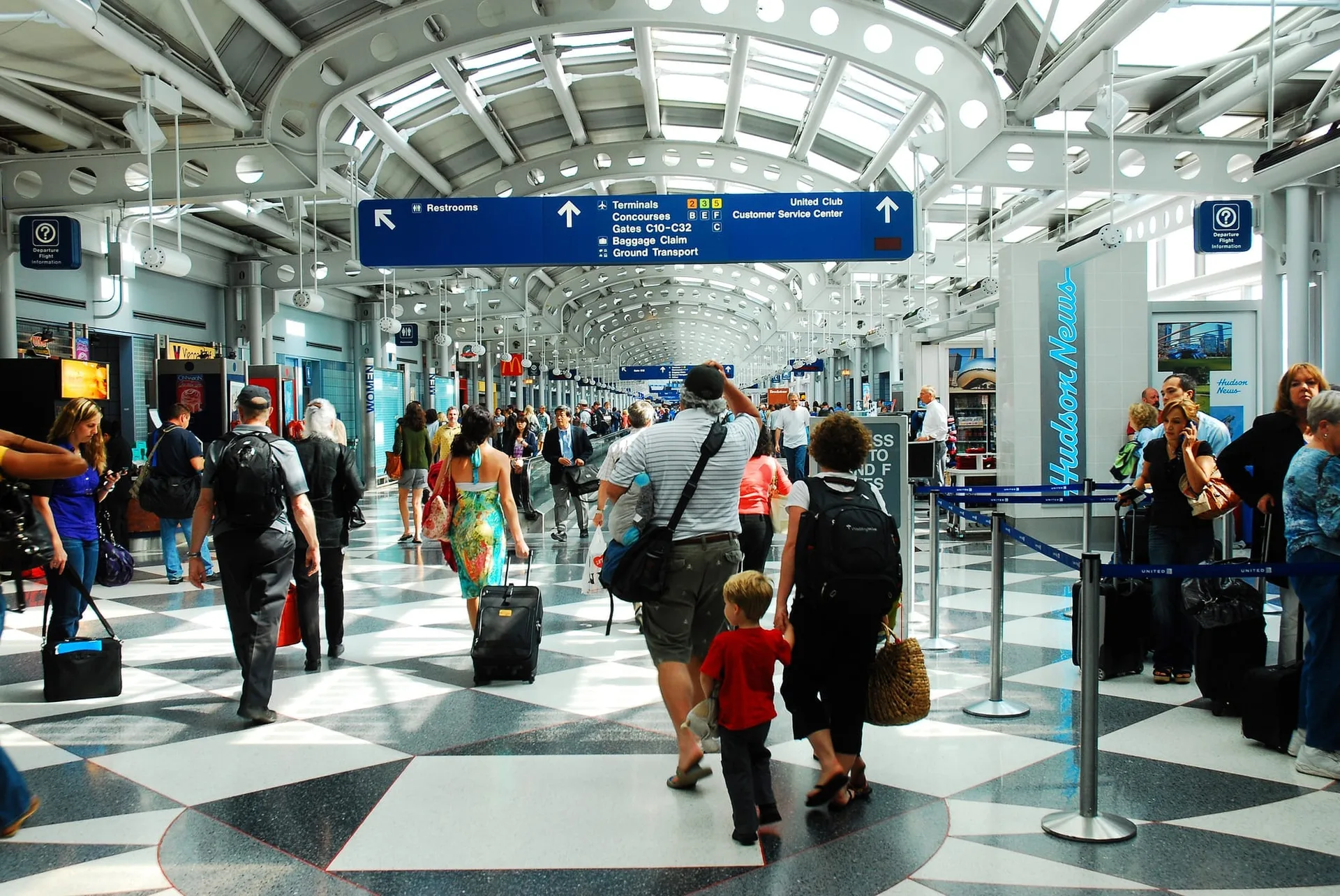
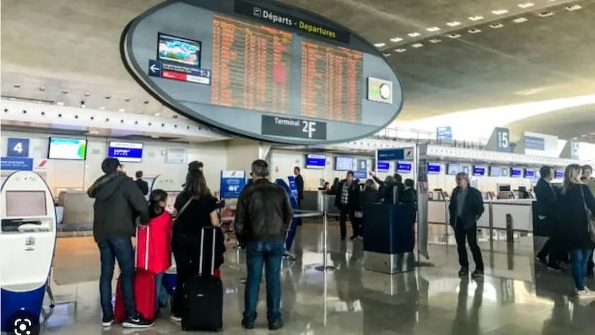
Check-In Processes

The check-in process is often fraught with delays, which can set a negative tone for the travel experience.

Outsight addresses this challenge by leveraging LiDAR data to track custom KPIs, identify queue formations and monitor kiosks occupancy continuously.

This unique functionality allows airport staff to allocate resources dynamically, reducing wait times and streamlining the check-in process.

Zone based Occupancy monitoring for Check in areas and kiosks

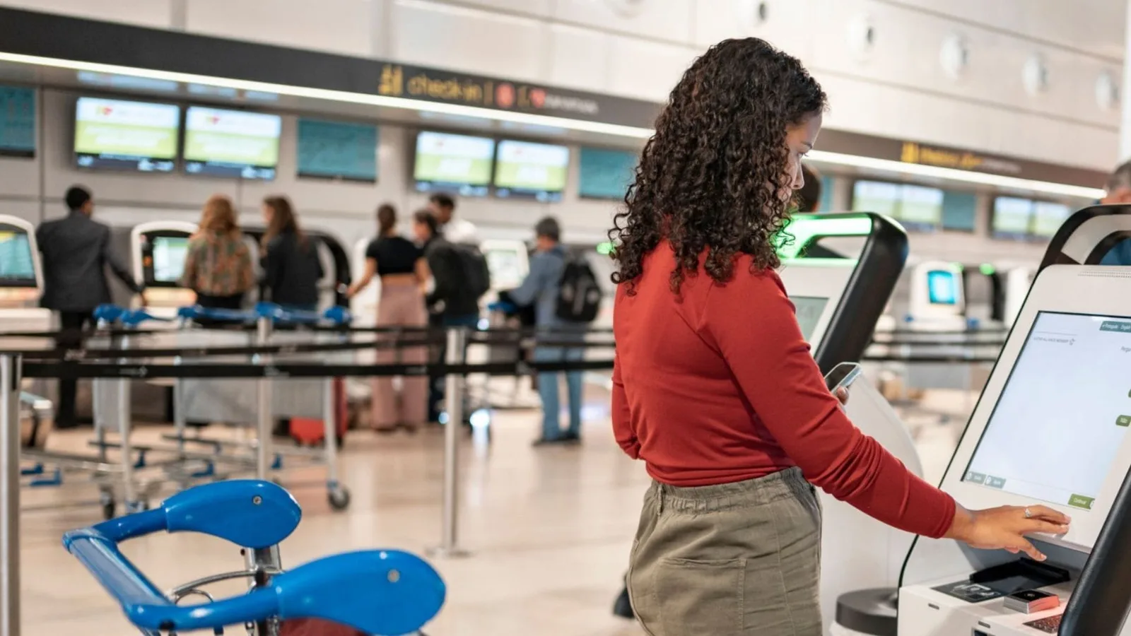
By ensuring that passengers spend less time in lines, airports can enhance customer satisfaction and operational efficiency.

Security & Immigration Operations

Security and immigration checkpoints are critical areas where the balance between efficiency and stringent security is paramount.

LiDAR-based Spatial AI excels by providing detailed analytics on passenger flows.

 Waiting time at TSA or Security checkpoints can significantly be reduced by leveraging LiDAR Data

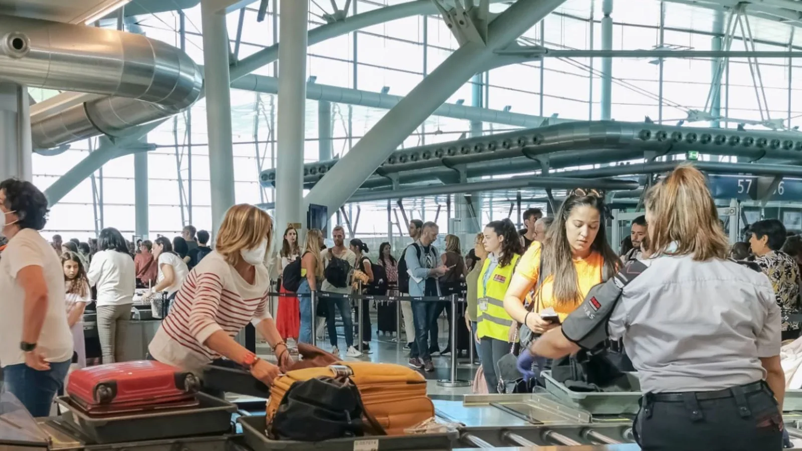
The LiDAR data insights provided by Outsight’s Spatial AI solution enables airports to adjust staffing and resource allocation in real-time, thereby minimizing bottlenecks without compromising security protocols.

At immigration checkpoints, the same technology ensures that movements are tracked and processed efficiently, leading to reduced wait times and a more pleasant travel experience.

Retail Zones

In retail zones, understanding and managing passenger flow is crucial for maximizing sales.

Comprehensive 3D Computer Vision software solutions like Outsight provide detailed analytics on passenger movements and dwell times, which retailers can use to enhance store layouts, adjust staffing, and tailor marketing strategies.

This data-driven approach helps to increase foot traffic and sales by aligning retail offerings with passenger preferences and behaviors.

Airports can boost Non Aeronautical Revenue with the help of Outsight's Computer Vision Tech

Lounge Areas

In airport lounges, maintaining an optimal level of comfort and service is essential for passenger satisfaction.

Airport operators can enforce SLAs from service providers by leveraging LiDAR insights

Outsight’s LiDAR-based system monitors real-time occupancy and space usage, ensuring that these areas are well managed.

Spatial AI insights allows lounge operators to adjust offerings, manage capacity, and maintain a high-quality environment by aligning cleaning and maintenance schedules based on occupancy, thus enhancing the passenger experience during transit.

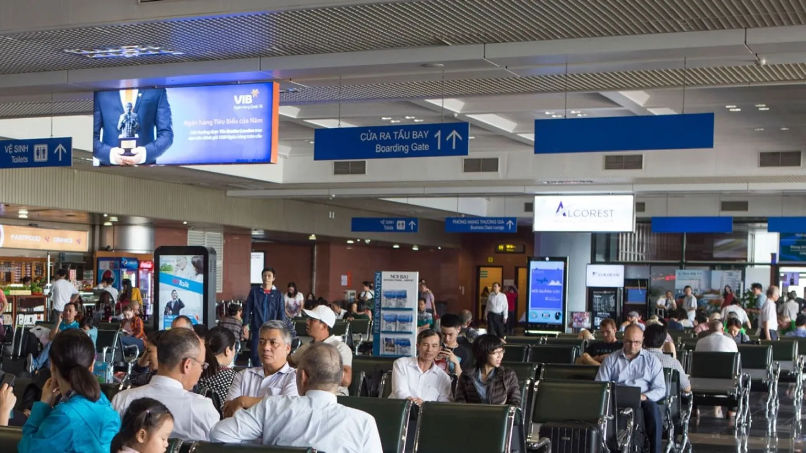
Boarding and Arrival Gates

Managing gates efficiently is vital for on-time departures and arrivals.

LiDAR based Spatial Intelligence provides a real-time insights on crowd density at gates, allowing airport staff to manage boarding procedures effectively and reduce delays.

This technology can also assist in making last-minute adjustments to gate assignments if a particular area is over-crowded or underutilized, optimizing the use of available space and resources.

Streamlined gate operations are critical for passenger satisfaction

Baggage Claim

LiDAR technology at baggage claims helps monitor and manage the flow of passengers retrieving their luggage.

By understanding crowd dynamics, airports can prevent bottlenecks and ensure that the delivery of baggage is synchronized with passenger flow rates.

This not only speeds up the process but also reduces the stress associated with waiting for luggage.

Spatial AI can help airports to manage the flow of passengers in baggage claim zones

Conclusion

Outsight’s LiDAR-based Spatial AI is a transformative technology for airports, offering unprecedented insights into how spaces are used and how people move through different touchpoints.

Airport operators can leverage LiDAR data collected at each touchpoint to gain a comprehensive, end-to-end understanding of passengers’ journeys from the moment they enter the airport until they leave.

By integrating this technology, airports can manage their operations more effectively, improve passenger satisfaction, and reduce operational costs.

Key Advantages of LiDAR for Airports

LiDAR technology and Software is shaping a new wave of operational excellence, passenger experience and safety for airports of all sizes.

Read article →

As this technology continues to evolve, its potential to reshape airport experiences is immense, promising a smoother, more enjoyable journey for travellers worldwide.


Related Articles

AIRPORTS

Aeroporti di Roma to deploy Outsight's Physical AI solution at scale across Rome Fiumicino Airport

Aeroporti di Roma (ADR) is expanding its collaboration with Outsight to a large-scale deployment across almost all Schengen common-use areas at Rome Fiumicino Airport.

CORPORATE

Intel and Outsight Announce Strategic Collaboration to Bring Physical AI–Powered Spatial Intelligence to the Enterprise Edge

Outsight’s Shift platform integrated into Google Distributed Cloud Edge powered by Intel Xeon 6 SoC – Live demonstration at Google Cloud Next 2026

Let's connect

Send us a Message

Drop your email and we'll get back to you as soon as possible.

Frequently Asked Questions

  • How does LiDAR handle passenger tracking across the full airport journey from curbside to gate?

    A single shared 3D point cloud fuses data from every sensor across the site, so each tracked entity receives a persistent anonymous ID the moment it enters a monitored area and keeps that ID continuously through every zone: drop-off lane, check-in hall, security checkpoint, retail corridor, lounge, and gate. Outsight's Motional Digital Twin applies exactly this architecture at airport scale, with infrastructure-mounted LiDAR feeding a real-time 3D replica of every person and vehicle moving through the facility. No handoff or re-identification step is needed between zones, because the shared spatial model treats the entire site as one continuous tracking domain. This continuity is what makes touchpoint-level KPIs, such as dwell time per zone, total journey time, and bottleneck attribution, accurate rather than approximate.

  • How does LiDAR-based queue measurement at airport security compare to manual staffing models?

    Manual staffing models at security checkpoints rely on fixed schedules derived from historical flight data. LiDAR-based queue measurement feeds live lane occupancy and projected wait time to a staffing system, allowing supervisors to open additional lanes before a queue forms rather than after. The key operational difference is that LiDAR reacts to what is actually happening in the terminal, including irregular demand caused by delayed inbound flights or group check-ins, which scheduled models cannot anticipate. Outsight applies this approach through its Motional Digital Twin, which processes 3D LiDAR data in real time across airport infrastructure, and has been deployed at major hubs including Dallas Fort Worth and Paris-Charles de Gaulle to give operations teams a continuous, anonymous picture of queue depth and flow across every checkpoint.

  • Can the same LiDAR deployment that monitors gate crowding also synchronize baggage delivery timing?

    In principle, yes. Passenger density at the gate provides an estimated boarding completion time, and that figure can feed the baggage handling system so carousel activation aligns with actual passenger arrival at the reclaim hall rather than a fixed schedule tied to the flight's wheel-down time. Outsight's Motional Digital Twin makes this possible by maintaining a single, real-time spatial data stream across the entire terminal, from gate to baggage hall, so both pipelines draw from the same source. Gate staff see crowd density alerts while ground handlers see projected carousel demand, all derived from the same 3D LiDAR infrastructure. Deployments such as Dallas Fort Worth demonstrate how a unified spatial layer can serve multiple operational consumers simultaneously without duplicating sensor infrastructure.

  • Does airport lounge occupancy monitoring with LiDAR require any network connection to the lounge operator's systems?

    Occupancy metrics are exposed via documented APIs, so integration with a lounge operator's capacity management or cleaning-dispatch system requires only a standard API connection. Outsight's SHIFT platform follows exactly this model: LiDAR sensors process raw point clouds into structured entity streams on local edge hardware before any data leaves the sensor zone, which limits the bandwidth demand on the airport's broader network. The result is that a lounge operator can pull real-time occupancy counts, dwell-time distributions, and zone-level alerts into its own systems without deep network access to the airport's core infrastructure. This architecture has been validated across large-scale airport deployments, including Paris-Charles de Gaulle and Dallas Fort Worth.

  • How does 3D LiDAR at a taxi stand differ from a simple vehicle presence detector like an inductive loop?

    An inductive loop confirms that a metal object is present in a defined ground zone; it cannot classify the vehicle type, measure dwell time, or count queuing pedestrians nearby. A 3D LiDAR sensor above the taxi stand classifies each vehicle (sedan, van, bus) by shape, tracks how long it occupies the curb, and simultaneously tracks the pedestrian queue waiting for pickup. That combination allows airports to enforce dwell limits, dispatch additional taxis based on queue depth, and log SLA compliance for contracted ground transportation providers. Outsight applies this capability at airports such as Dallas Fort Worth and Paris-Charles de Gaulle, where infrastructure-mounted LiDAR feeds a real-time Motional Digital Twin that gives operations teams live visibility across every curb zone without capturing any biometric or license-plate data.

  • What privacy regulation framework applies when an airport deploys passenger journey tracking across all touchpoints?

    Because 3D LiDAR captures geometric shape and motion rather than images, faces, or biometric markers, no personal data is recorded at any touchpoint. The tracked entity is an anonymous bounding box with a temporary ID, not a named individual. GDPR and equivalent regulations (such as CCPA in California) typically trigger obligations when personal data is processed; a geometry-only pipeline does not generate personal data, so the compliance burden is structurally lower than a camera-based system that anonymizes video after capture. Outsight's infrastructure-based approach to passenger journey tracking is anonymous by definition at the sensor level, a characteristic that airports such as Paris-Charles de Gaulle and Dallas Fort Worth have been able to leverage when deploying LiDAR across their terminals.