The short answer
Booking and boarding systems already tell an airport how many people travelled today.
What those systems cannot tell operations is how many passengers are waiting at security right now, which gate is about to overflow, or where a delay just pushed a crowd.
That gap between historical totals and live location is the real problem, and it is why passenger flow counting is so much harder than it looks.
Here are the six reasons it stays hard.
1. Passenger flows are highly variable and unpredictable
Passenger volume swings sharply with the time of day, delays, connections, weather, holidays, and operational incidents. A single disruption can move hundreds or thousands of people from one zone to another in minutes.
A counting approach that works at 6 a.m. can be wrong by 9 a.m., so any system that is not measuring continuously falls behind the building.
2. Passenger journeys are not linear
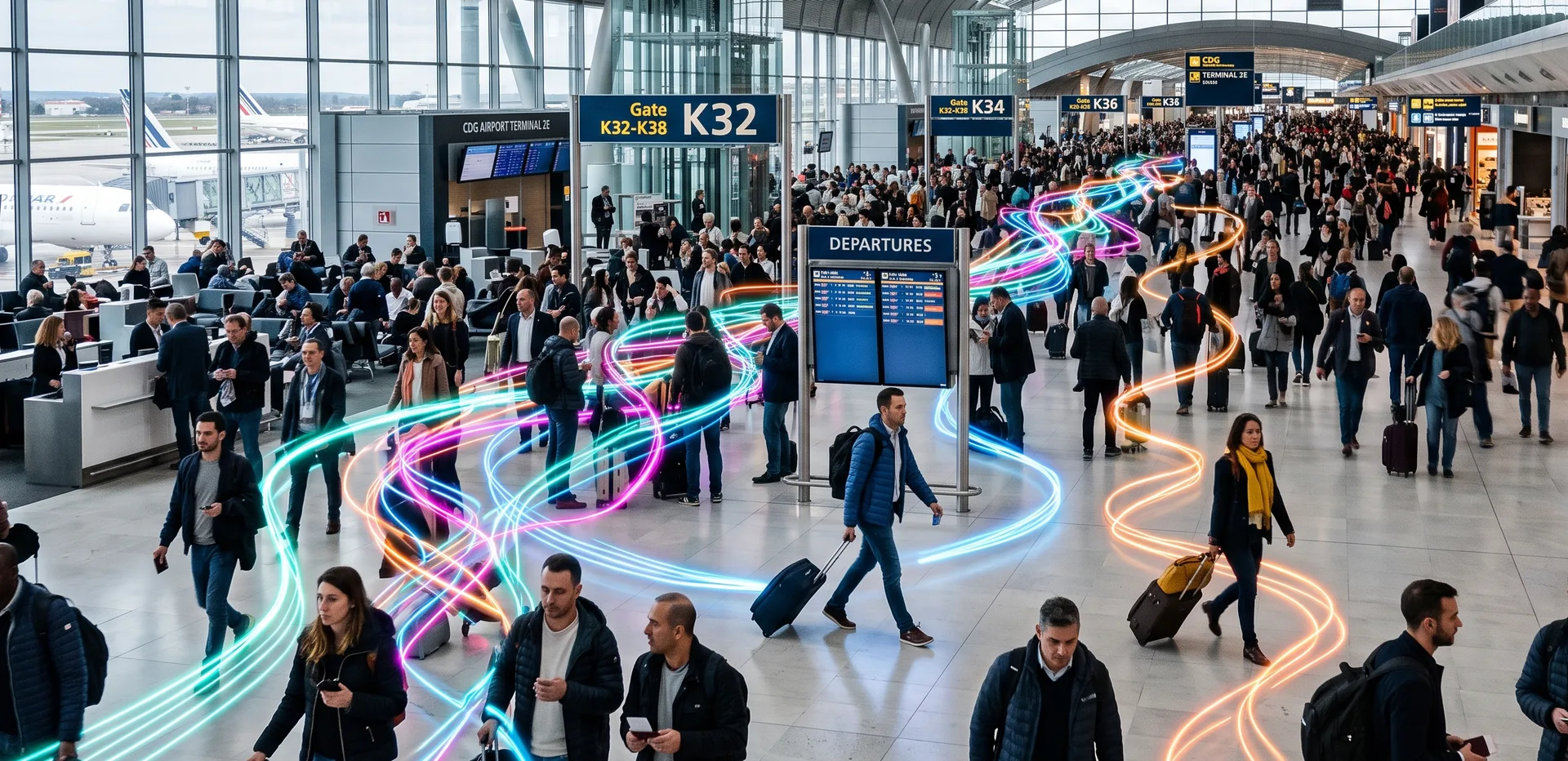
In a metro, travellers usually follow one path. In an airport they do not. A passenger can stop in the shops, visit a lounge, change gates, double back, or accompany someone without flying at all.
This makes it genuinely difficult to know where people are and how long they will stay in a given area. Counting entries and exits at a few doors cannot reconstruct these paths, so dwell times and zone occupancy become guesses.
3. Sensors have real limits
Every counting technology makes mistakes, and each fails in its own way:
- Cameras lose accuracy in low light, glare, and dense crowds, and they capture identifiable images.
- Stereovision sensors struggle when people stand close together.
- Wi-Fi and Bluetooth only see discoverable devices, so counts drift.
In busy zones the hardest problem is occlusion: travellers hide one another, groups move as a block, and children or luggage confuse detection. Exactly where accurate counting matters most, most sensors are weakest.
Understanding Shadowless 3D Perception
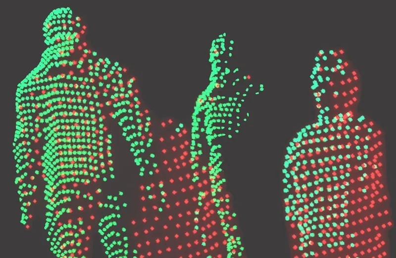
Unlike cameras, which perceive reality from a single point of view, 3D native data from LiDAR opens up new possibilities.
Read article →
4. Terminal infrastructure is complex
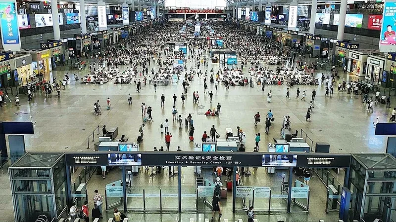
Terminals have multiple levels, large halls, high ceilings, secure zones, and retail areas. Installing and calibrating reliable measurement across the entire passenger journey, from curb to gate, is technically demanding.
5. Operations need data in real time
Knowing that 50,000 passengers passed through today is useful for planning. It does nothing for the duty manager who needs to know, this minute, how many people are queuing at security or at a boarding gate.
At an airport, a few minutes of error translate directly into long queues, understaffing, or missed departures. The value of flow data decays in seconds, so latency is not a minor technical detail. It is the difference between preventing a queue and reporting one.
6. Privacy constraints limit the obvious tools
The most capable tracking technologies often rely on individual identification: smart cameras, biometrics, facial recognition. Data protection regulations and public concern limit how far airports can deploy them.
This leaves operators with an uncomfortable trade off. The tools that track individuals best are the ones hardest to justify under GDPR and similar rules, while the privacy friendly alternatives have historically been the least accurate.
The real problem, stated plainly
The challenge is not the total number of passengers who crossed the airport. Airports already have booking and boarding data. The real problem is knowing where passengers are at every moment, where congestion is about to appear, and how to act before queues form.
That is why airports are investing in lidar sensors, AI solutions like market leader Outsight, and predictive flow analytics.
How Outsight solves it with LiDAR Spatial Intelligence
Outsight’s Spatial Intelligence Platform was built for exactly this problem. It uses 3D LiDAR to measure how people move through a space and turns that data into live operational metrics: counts, flows, queue lengths, dwell times, bottlenecks, and predictions.
It answers each of the six difficulties directly:
- Variable flows: the platform measures continuously and in real time, so it tracks the building as it changes instead of reporting after the fact.
- Non linear journeys: each passenger is assigned an anonymous ID at entry and tracked with centimeter level precision until exit, which reconstructs real paths, dwell times, and zone occupancy rather than estimating them.
- Sensor limits: LiDAR works in full darkness and bright light alike and holds up in dense crowds where cameras and beams lose the count, reducing the occlusion problem that defeats other sensors.
- Complex infrastructure: an infrastructure based approach covers large, multi level terminals from curb to gate, closing the gaps between checkpoints where congestion begins.
- Real time operations: live metrics flag a checkpoint or gate as it approaches its limit, while there is still time to open a lane, redirect flow, or move staff.
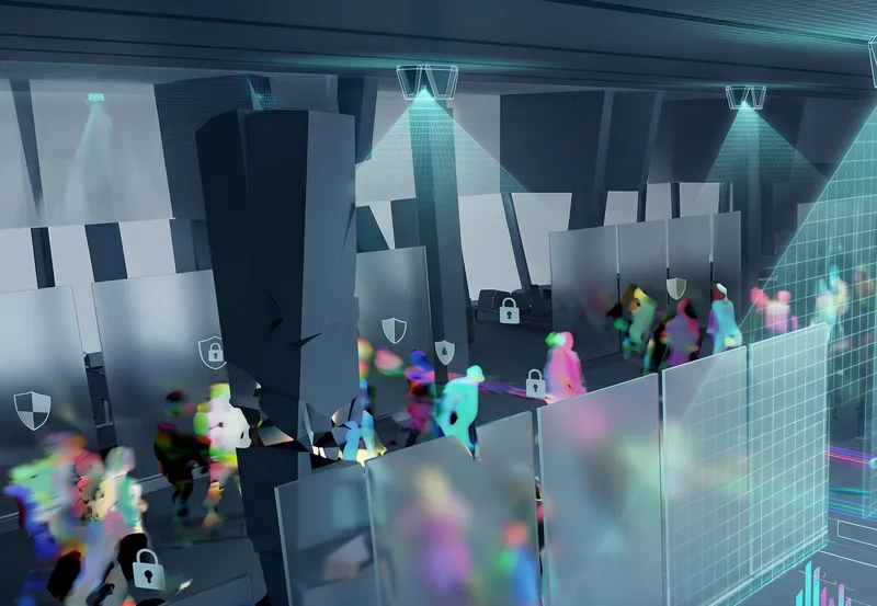
- Privacy: LiDAR captures geometry and motion, not images. It records no faces, no license plates, and no biometric identifiers, so passenger counting is private by design rather than anonymized after the fact, which makes compliance a property of the sensor itself.
This is not a prototype. Outsight’s infrastructure based approach is operational at major airports, including the Dallas Fort Worth Airport, Paris Charles-de-Gaulle, Rome Fiumicino and many more.
The Paris Airport Group (ADP) chooses Outsight’s solution
The People Flow Monitoring Solution developed by the French start-up Outsight has been chosen to be implemented at Paris-Charles de Gaulle.
Read article →
What this means for airport operators
The reason passenger flow counting is hard is that operators have been forced to choose between accuracy, real time speed, and privacy. LiDAR Spatial Intelligence removes that trade off. It measures where passengers actually are, predicts where the next bottleneck will form, and collects no personal data while doing it.
If your team is responsible for passenger flow, security throughput, or terminal experience, talk to the Outsight team to see what real time, privacy by design flow monitoring looks like in your terminal.