Skip to content
Insights
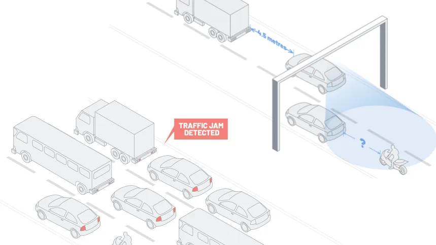
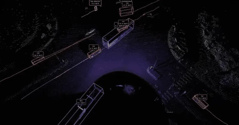
Image showing Outsight's software in use on a highway

The Role of 3D LiDAR Technology in ITS

Intelligent Transportation Systems (ITS) are crucial for enhancing road safety and efficiency. LiDAR brings these systems to a whole new level.


Outsight’s Comprehensive ITS Solution

Outsight provides the easiest and most comprehensive way to use LiDAR in ITS: from Simulation to Deployment and Analytics’ Dashboard.

Read article →
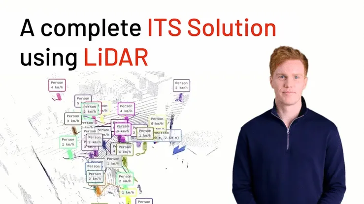
The fusion of 3D LiDAR technology into Intelligent Traffic Systems (ITS) is revolutionizing the realm of traffic management and road user safety, marking a pivotal shift towards data-driven traffic control systems.
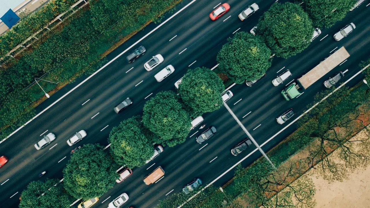
Top view of slow moving traffic

Traffic congestion, frequent road accidents, and inefficiencies in traffic management are major challenges in urban areas. Traditional traffic monitoring methods are often limited by environmental factors and the inability to provide real-time, accurate data.

Outsight’s 3D LiDAR technology offers a comprehensive software solution for these challenges. By providing high-precision spatial data and real-time analytics, it enables smarter, safer, and more sustainable transportation systems.

Key Features of LiDAR in ITS:

  1. Pedestrian Detection and Real-Time Traffic Monitoring: Outsight’s 3D LiDAR technology tracks vehicles and pedestrians with high accuracy, offering real-time insights into traffic flow and density.
  2. Enhanced Safety Measures: The ability to detect and classify objects in real time allows for immediate response to potential hazards, reducing the likelihood of accidents.
  3. Optimised Traffic Flow and Management: By analyzing traffic patterns, Outsight’s technology aids in optimizing traffic signals and reducing congestion and travel times.
  4. Anonymous Tracking for Privacy: Unlike camera-based systems, LiDAR ensures individual privacy while providing valuable traffic data.
  5. Reliable Performance in Adverse Weather : LiDAR sensors perform reliably in various weather conditions, ensuring consistent traffic monitoring and control.

Case Studies and Applications:

  • Smart Highways: The deployment of Outsight’s 3D LiDAR technology on highways revolutionizes traffic loop detection and management, facilitating seamless traffic flow, incident detection, and congestion control.
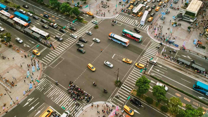
  • Urban Traffic Management: Within city confines, the technology enhances pedestrian safety, streamlines smart parking, and optimizes traffic signals.
  • Emergency Response: Accelerated detection of traffic incidents and disruptions empowers emergency responders with the agility to address situations swiftly, minimizing response times and enhancing public safety.

The integration of Outsight’s 3D LiDAR technology in ITS represents a significant leap forward in road safety and efficiency. By offering detailed, real-time insights into traffic patterns and road user behaviour, it paves the way for smarter, safer, and more sustainable urban mobility.
Related Articles

TECHNOLOGY

Transforming ITS: LiDAR vs Camera vs Radar

LiDAR, Cameras, and Radar are evolving Intelligent Transportation Systems, with LiDAR leading the way.

APPLICATIONS

From Inductive Loops to LiDAR Solutions: The Future of City Traffic Monitoring

With Inductive Loops' limitations becoming increasingly evident, LiDAR solutions are quickly becoming the next wave for city traffic monitoring

Let's connect

Send us a Message

Drop your email and we'll get back to you as soon as possible.

Frequently Asked Questions

  • Can LiDAR replace inductive loops for incident detection on highways?

    Inductive loops embedded in asphalt detect vehicle presence by measuring changes in inductance, but they only confirm passage at a fixed point and cannot classify vehicle type, speed profile, or lane-change behavior. Infrastructure-mounted 3D LiDAR covers a full stretch of road from a single roadside unit, detects stopped vehicles, debris, and wrong-way drivers between sensor positions, and classifies objects continuously. This infrastructure-based approach is central to how Outsight deploys LiDAR across transportation environments, using its SHIFT platform to build real-time Motional Digital Twins that capture how every vehicle moves through a corridor without relying on embedded road hardware. Maintenance costs also differ: replacing a damaged loop requires cutting the road surface, while a roadside LiDAR unit can be swapped without lane closures.

  • How does LiDAR handle pedestrian detection at intersections differently than camera-based systems?

    Camera-based pedestrian detection relies on pixel patterns and degrades when lighting is poor, when subjects are occluded, or when reflective surfaces create glare. LiDAR measures the 3D bounding box of each person directly from laser returns, so detection accuracy does not depend on ambient light or contrast. It also separates overlapping pedestrians in a crowd by depth rather than by silhouette, which matters at busy crosswalks where people walk in close proximity. This infrastructure-based approach is how Outsight applies LiDAR at smart-city intersections, including Vision Zero deployments in the City of Bellevue, where the SHIFT platform processes 3D detections in under 50 milliseconds to support real-time pedestrian safety decisions.

  • What vehicle classes can a roadside LiDAR sensor distinguish in live traffic?

    A 3D LiDAR sensor resolves objects with enough spatial detail to distinguish broad vehicle classes: motorcycles, passenger cars, vans, trucks, and buses. Classification is driven by the 3D bounding box dimensions and the motion profile, not by color or markings. Finer distinctions, such as separating a flatbed truck from an enclosed van, depend on sensor resolution and mounting height. Pedestrians, cyclists, and scooter riders are tracked as distinct classes, which is the data that feeds vulnerable road user safety alerts in ITS applications. Outsight applies this classification capability at infrastructure scale through its SHIFT platform, including deployments at smart-city intersections such as those operated by the City of Bellevue under its Vision Zero program, where real-time multi-class detection informs collision-risk interventions.

  • How does weather affect LiDAR traffic sensors in winter road conditions?

    LiDAR emits near-infrared laser pulses and measures their return time, so it operates regardless of ambient light levels. Heavy snowfall or dense fog can scatter pulses and reduce effective range, but the sensor continues detecting objects within its remaining range rather than failing entirely. In practice, ITS deployments in cold climates pair LiDAR with heated enclosures to prevent ice accumulation on the lens window, which is the more common winter failure mode than the physics of the laser itself. Outsight's infrastructure-based approach, used in deployments across five continents through the SHIFT platform, accounts for these environmental variables at the software layer, applying multi-frame filtering to maintain reliable object tracking even when raw point-cloud density drops due to precipitation.

  • What data format does a LiDAR ITS system send to a traffic management center?

    Raw point clouds from roadside sensors are processed at the edge by perception software, which outputs structured object streams: per-vehicle or per-pedestrian position, speed, heading, class, and unique track ID. Outsight's SHIFT platform follows exactly this architecture, converting LiDAR point clouds into anonymous entity feeds with a sub-50ms end-to-end pipeline before any data leaves the sensor zone. These structured streams are small enough to transmit over standard network links and map directly to DATEX II or NTCIP data models that traffic management centers already consume. The traffic center never needs to handle raw 3D point data, only the classified entity feed.

  • Is LiDAR-based traffic monitoring useful for post-incident forensic analysis, or only for live alerts?

    Both. The same per-entity tracking data that triggers live alerts is stored as a time-stamped record of every trajectory, speed, and interaction at the monitored site. After an incident, operators can replay the 3D scene from any angle to reconstruct the sequence of events, a capability that camera systems can approximate only if the camera angle captured the relevant zone clearly. Outsight's SHIFT platform applies this principle at infrastructure scale: because LiDAR captures precise shape and motion data rather than relying on a fixed optical field of view, the stored point-cloud record remains spatially complete regardless of where within the monitored zone an event occurred. This forensic replay is also used for signal-timing studies and safety audits weeks after the original event.