As transportation evolves, so too does the technology that propels its advancement.
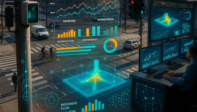
Intelligent Transportation Systems (ITS) are essential for improving traffic flow, enhancing road safety, and reducing environmental impacts.
Among the technologies employed, LiDAR stands out as the most effective, surpassing the capabilities of other road sensors such as cameras and radar in almost every aspect.
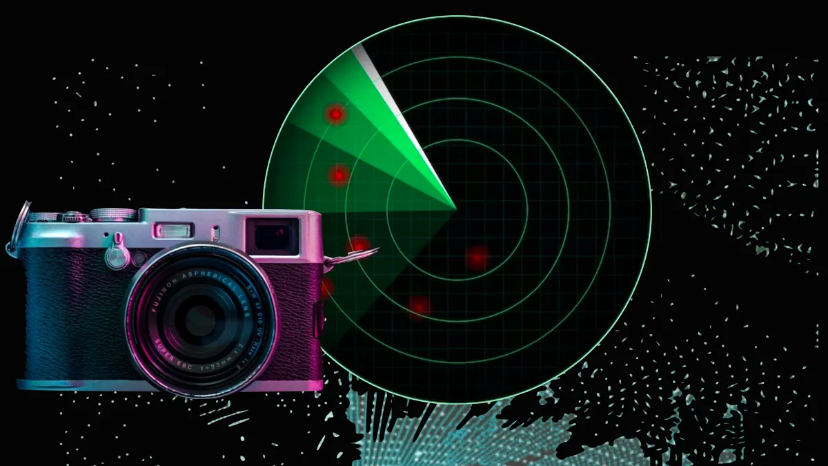
For a more technical comparison between the three:
A detailed comparison of LiDAR, Radar and Camera Technology
This article explores the capabilities and limitations of each type of sensor, to provide a clear understanding of why LiDAR has emerged as a strong contender in computer vision tech race.
Read article →
LiDAR, which stands for Light Detection and Ranging, is a remote sensing technology that uses laser beams to measure the distance between objects.
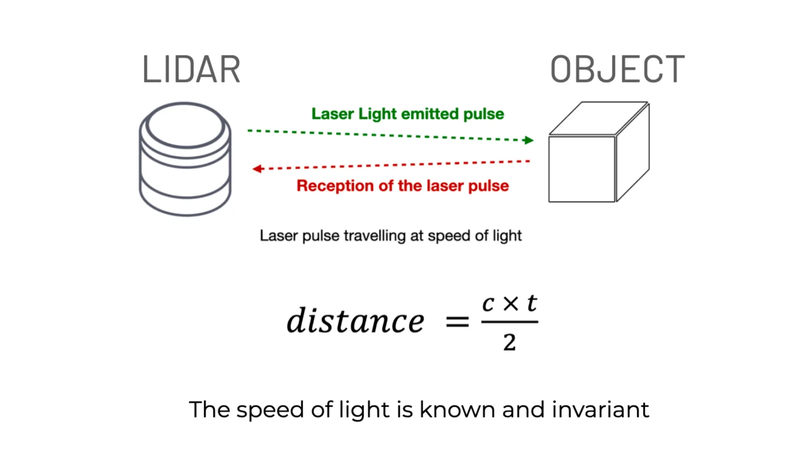
How does Lidar work? (in detail)
3D LiDAR is a complex technology that enables unprecedented Spatial Intelligence. Many engineering choices are possible when building a new device.
Read article →

Unparalleled Accuracy with LiDAR
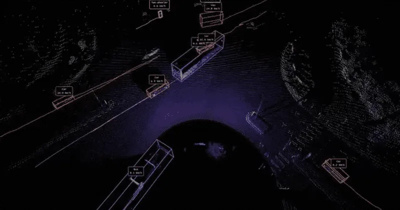
LiDAR technology is transforming transportation. Using laser beams to create detailed 3D point clouds of environments, LiDAR provides essential data that other technologies cannot match.
Outsight’s platform harnesses this technology to deliver real-time insights into traffic conditions, vehicle and pedestrian tracking, and more.
This superior traffic impact analysis tool enables more effective traffic signal optimization, road traffic congestion reduction, and significant decreases in travel times.
Learn more about how LiDAR is transforming ITS:
The Role of LiDAR in Intelligent Transportation Systems
Intelligent Transportation Systems (ITS) are crucial for enhancing road safety and efficiency. LiDAR brings these systems to a whole new level.
Read article →
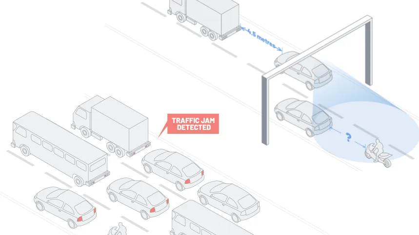
This technology ensures that traffic controllers have a clear, uninterrupted view of all elements on the road, facilitating rapid responses to any issues that arise.
Moreover, LiDAR’s ability to analyze traffic flow and density in detail allows traffic managers to enforce more accurate strategies for easing traffic conditions.
As a result, Outsight’s LiDAR software is necessary for reshaping how cities handle their increasing traffic challenges.
Cameras: Supplementary Tools for Traffic Monitoring
Cameras collect visual data on the road to monitor traffic conditions, simplify automatic toll payments, and detect accidents or hazards.
However, cameras are often limited in performance, especially in low-light conditions or adverse weather, significantly impacting their ability to accurately identify pedestrians or vehicle positions.
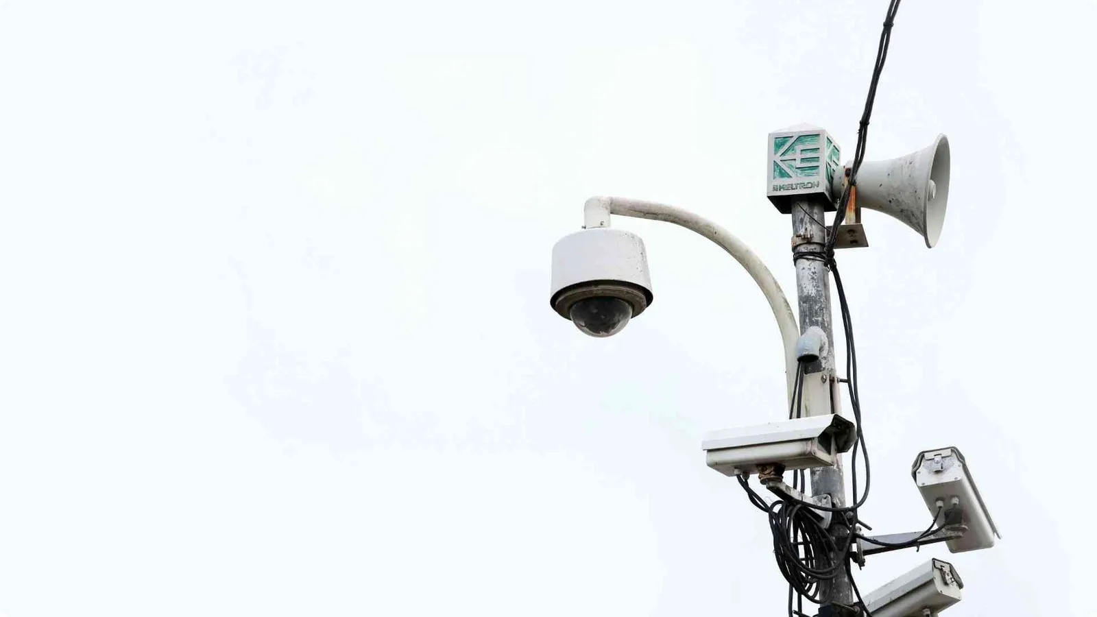
Fog, rain, and snow can obstruct visibility. At the same time, intense glare from the sun or headlights reduces their effectiveness, compromising data quality.
LiDAR, by contrast, uses laser beams that can penetrate challenging weather conditions and darkness without a drop in performance.
Its light detection method remains effective even when visual cameras fail, as it creates high-resolution, real-time 3D point clouds of the surrounding area regardless of environmental conditions.
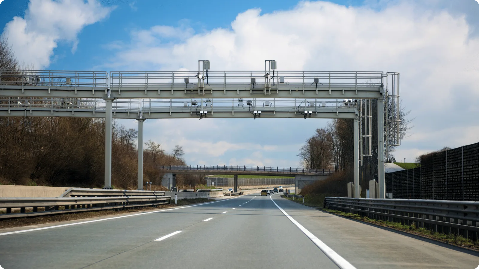
In congested conditions, cameras might struggle to capture clear images of all vehicles, leading to potential inaccuracies in toll collection.
LiDAR improves tolling accuracy by classifying vehicles based on dimensions and speed. The method can ensure, for instance, that correct and fair toll rates are applied to the different vehicle classes.
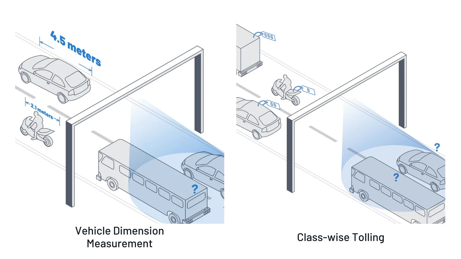
LiDAR captures spatial information
Radar: Monitoring Speed and Safety
Radar technology, which uses radio waves to detect objects and their speed, plays a role in traffic safety systems like collision avoidance and emergency braking.
While radar can detect vehicles and obstacles in various conditions, its primary limitations are its lower spatial resolution and susceptibility to interference.
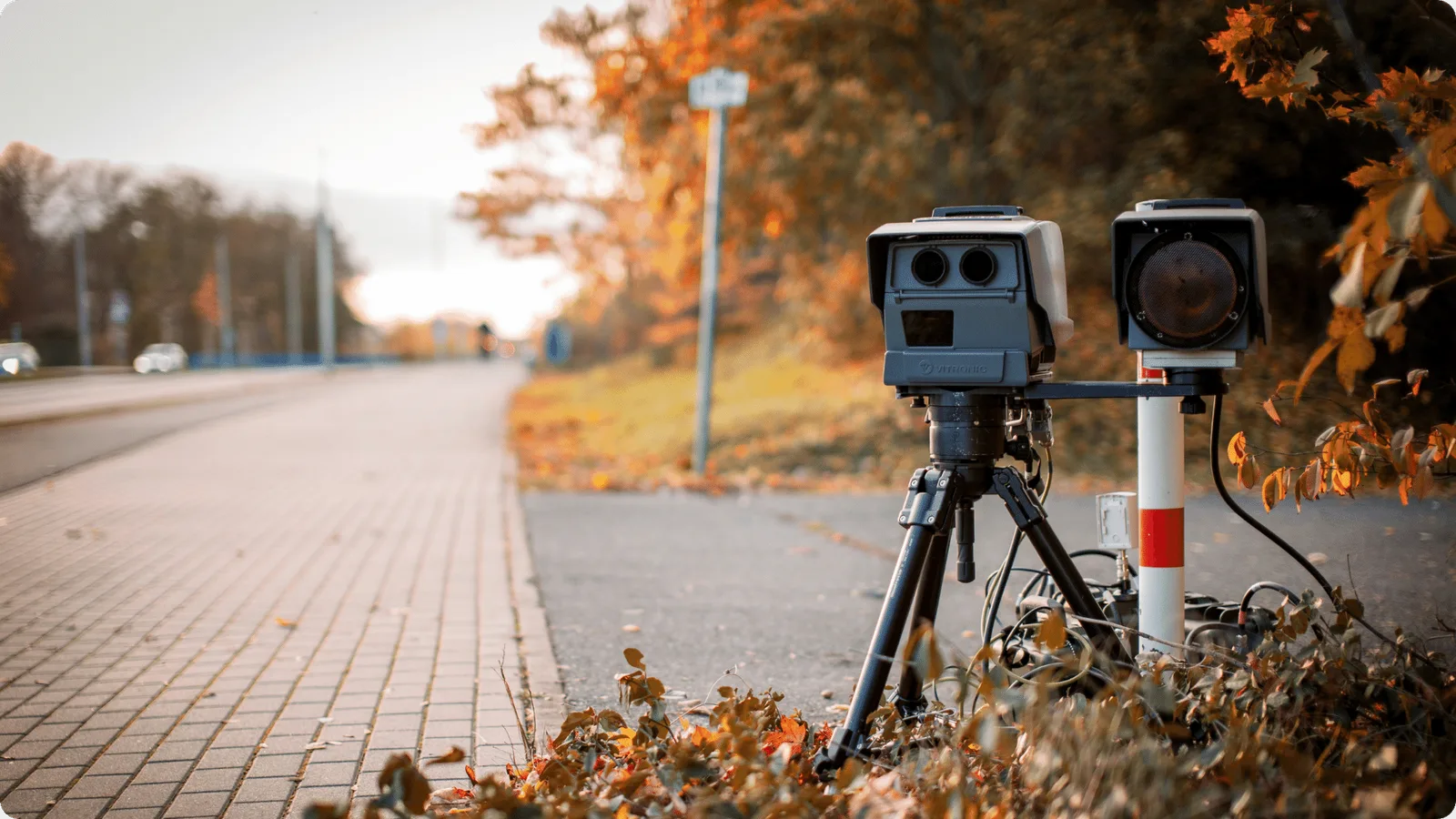
In heavy rain, snow, or fog, radar’s effectiveness can degrade as signals scatter or get absorbed, leading to reduced accuracy in object detection.
Moreover, radar can have difficulty accurately measuring objects’ exact position or shape, particularly in cluttered environments, limiting its ability to provide detailed situational awareness.
LiDAR, on the other hand, leverages laser beams that deliver high-resolution 3D data with unmatched accuracy.
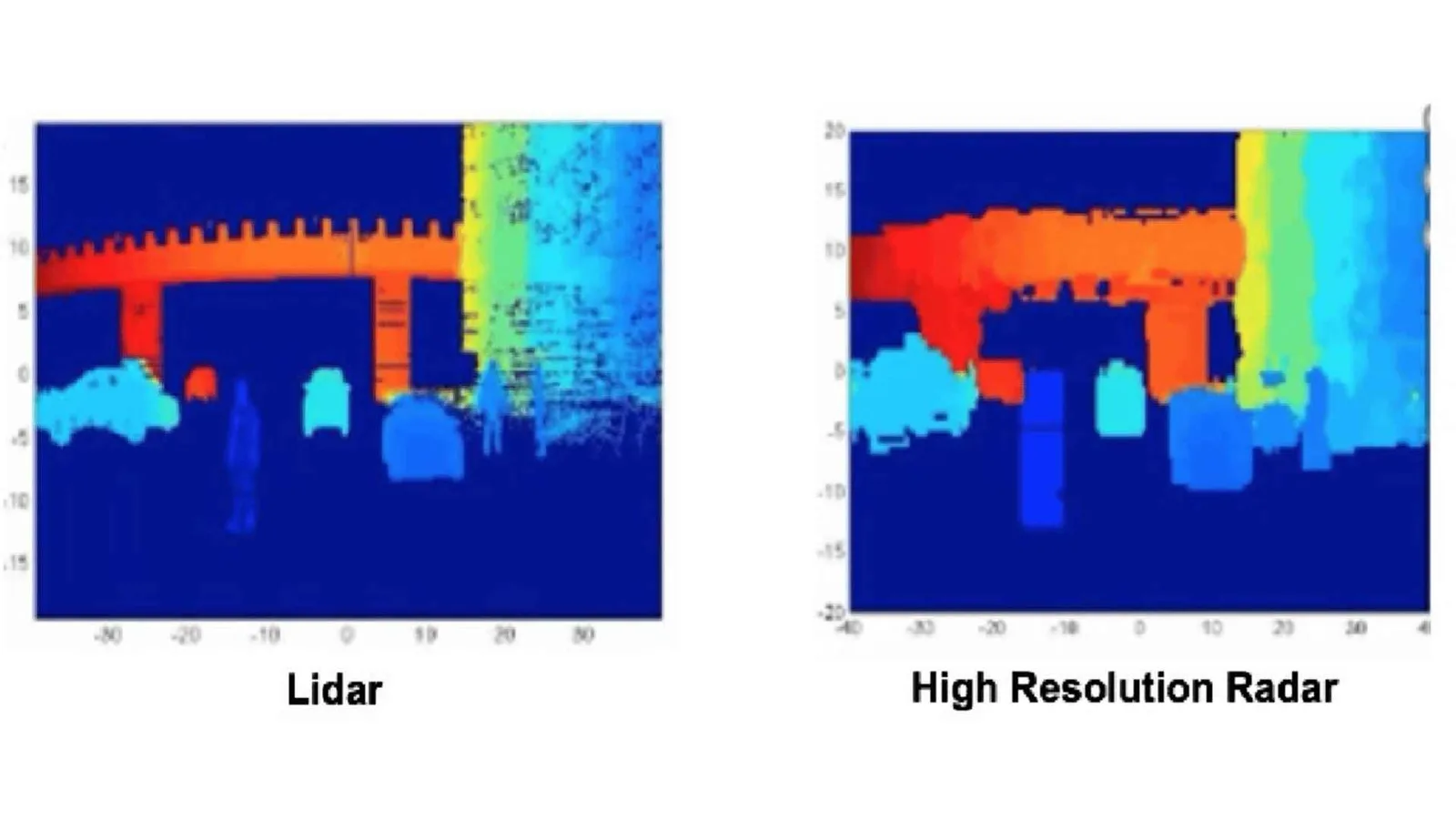
LiDAR vs. High-Resolution Radar
With the ability to scan the environment with thousands of laser pulses per second, LiDAR can even accurately create the shape and classify the object far better than radar can.
Radar also struggles to detect smaller, less reflective objects on the road, such as pedestrians.
This deficiency compromises traffic safety, as such objects could pose significant hazards if left undetected.
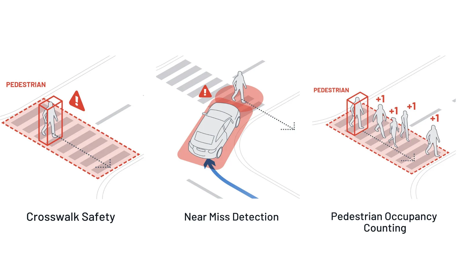
LiDAR can detect interactions between VRU and vehicles
Outsight’s LiDAR software identifies and counts the number of pedestrians in specific areas, providing data on pedestrian traffic patterns.
Ensuring smoother traffic flow by reducing pedestrian-related disruptions and providing data for pedestrian infrastructure development.
Making Bellevue safer with LiDAR Solutions
Discover Outsight’s latest use case in the city of Bellevue, a complete LiDAR installation to increase users’ safety at busy intersections!
Read article →
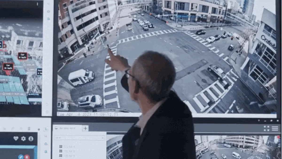
Learn more about how city of Bellevue uses Outsight solutions and LiDAR for Vision Zero
In environments with multiple moving objects, radar can have difficulty distinguishing between them, leading to potential inaccuracies in speed tracking and object identification.
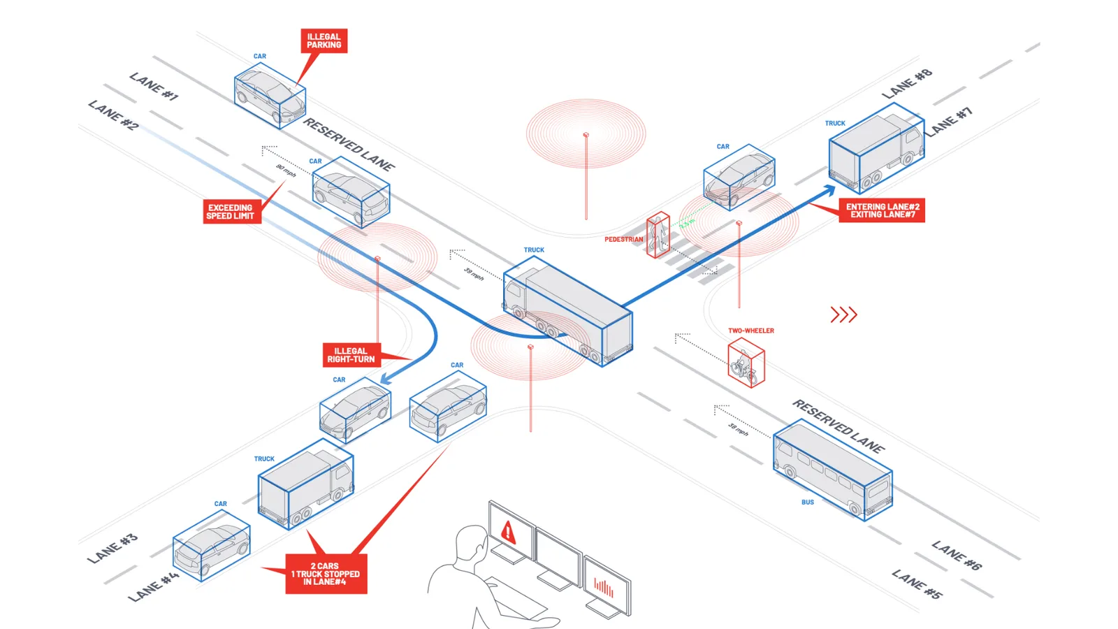
Smart Intersections using LiDAR
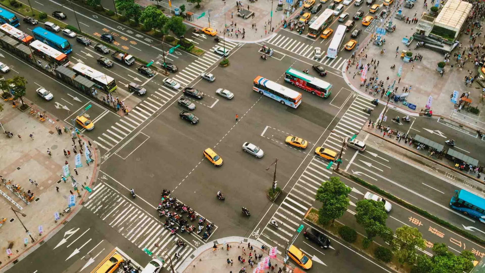
LiDAR technology monitors many different vehicles’ speeds and can differentiate between vehicle classes. This data, and other valuable insights, helps identify preventable dangerous situations.
With Outsight’s LiDAR software, these capabilities translate into proactive traffic management strategies.
Authorities can mitigate road traffic congestion, improving overall traffic flow, based on reliable high-resolution data that radar can’t provide.
The Future of Transportation: LiDAR’s Expanding Role
Furthermore, as smart cities look toward integrating ITS with other aspects of urban planning, LiDAR’s detailed spatial analysis can guide everything from road maintenance scheduling to optimizing traffic signal timings and intersection design.
LiDAR Software - an enabler for expanding ITS solutions
With the global rise of 3D sensor demand, LiDAR has never been so accessible and it’s becoming essential for Intelligent Transportation System applications.
Read article →
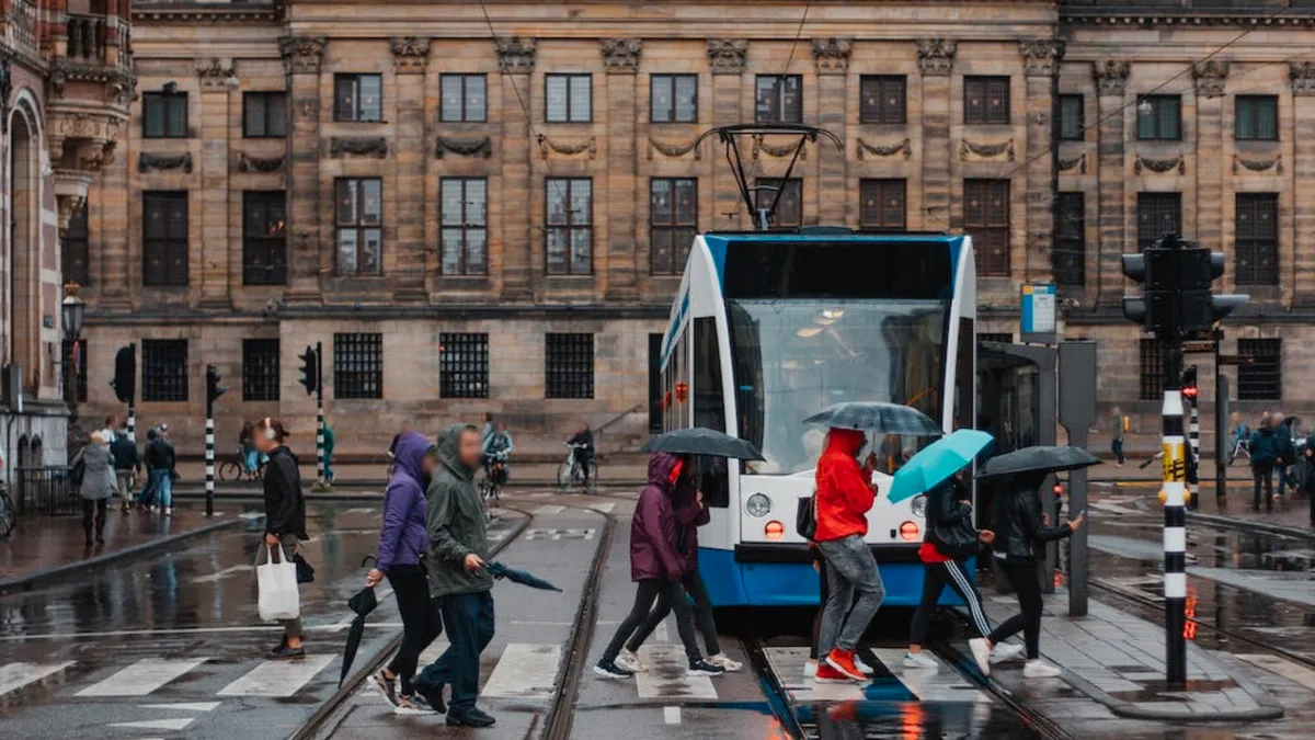
Urban planners can proactively design safer and more efficient traffic networks by identifying areas prone to bottlenecks or high pedestrian density.
In Summary: LiDAR as the Keystone of ITS
LiDAR’s superior accuracy and reliability in spatial analysis make it indispensable for creating a safer, more efficient transportation network.
While cameras and radar provide valuable support, they fail to address all modern transportation systems’ challenges.
With LiDAR technology leading the charge, companies like Outsight are key in driving the future of ITS and the creation of smart roads.